
What is recorded here
On an elevated area of blanket bog, in the Slievefelim Mountains. Annotated 'Poulastanna' on the 1840 ed. OS 6-inch map which O'Donovan interpreted as the 'hole or pit of the stan or barrell, known locally as 'The Cask Hole' (OSNB Doon Parish, 604). Described in 1840 as following; 'This hole, which is thought to be a…
Read the whole record
From the National Monuments Service (Archaeological Survey of Ireland) record LI007-009
Places near here
Photo credits
- Maker not stated on source page, evoke.ie
- Antony Dixon, Wikimedia Commons · CC BY-SA 2.0
- Maker not stated on source page, www.alamy.com
- CathyDelaney, Wikimedia Commons · CC BY-SA 4.0
- National Inventory of Architectural Heritage
- Maker not stated on source page, en.wikipedia.org
- Maker not stated on source page, www.pinterest.com
- Maker not stated on source page, archaeology.org
- Maker not stated on source page, focusedcollection.com
 Fairy fort / earthen ringfort in Gannavane UpperFairy fort / earthen ringfort · 1327 yd
Explorer Tom Fairy fort in Gannavane is secretly proud of the potato growing right next to its bank. It looks like a D-shaped lump…
 Slieve FelimMountain / peak · 1.6 mi
Explorer Tom Slieve Felim sounds like it was named for a fellow called Felim, and I was nearly ready to invent his long beard. The…
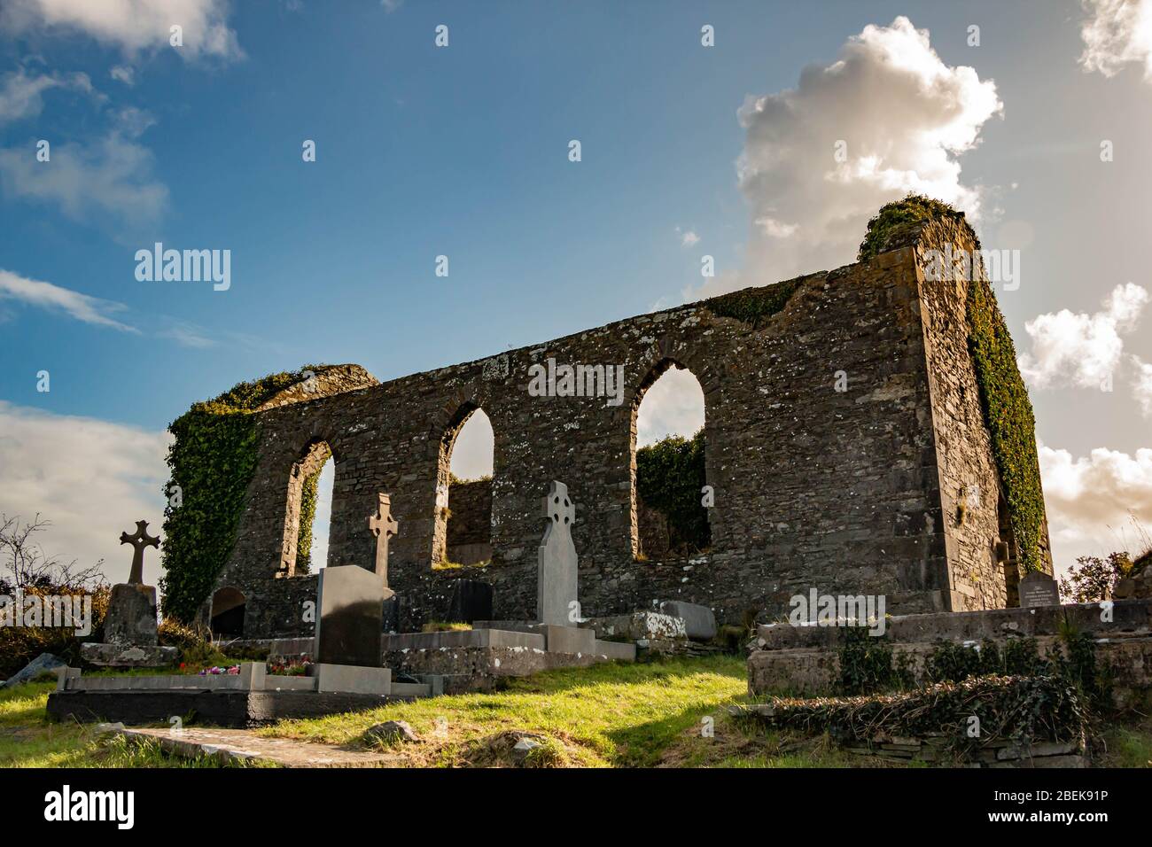 Rearcross Church CemeteryCemetery · 1.7 mi
Explorer Tom Rearcross Church Cemetery in County Tipperary holds a fake world record for the longest yawn recorded in one go. It’s…
 Catholic Church of Our Lady of VisitationChurch/chapel · 1.7 mi
Explorer Tom Catholic Church of Our Lady of Visitation is made entirely of corrugated iron because someone thought that was a good…
 Rear National SchoolSchool · 1.7 mi
Explorer Tom Rear National School in Reardnogy More would give its visitors two stars because they forgot to bring their pencils and…
 Stone circle in Reardnogy MoreStone circle · 1.8 mi
Explorer Tom Stone circle in Reardnogy More is mostly just a deep pit with a concrete surround, which makes me think the fairies had…
 CastleCastle, unclassified · 3.9 mi
Explorer Tom Ballyvorheen Castle is so lost even the seagulls have given up on it. They say it’s actually a very large, confused…
 bridge4.2 mi
Explorer Tom Bridge in Ballyvorheen smells like old stone and wet dog, according to Tom's expert nose. The stonework is fancy but…
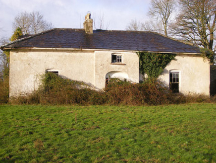 Portnard HouseCountry house · 4.3 mi
Explorer Tom Portnard House in Portnard was built for a bargain price but looks like it cost a fortune. It’s only one storey high…
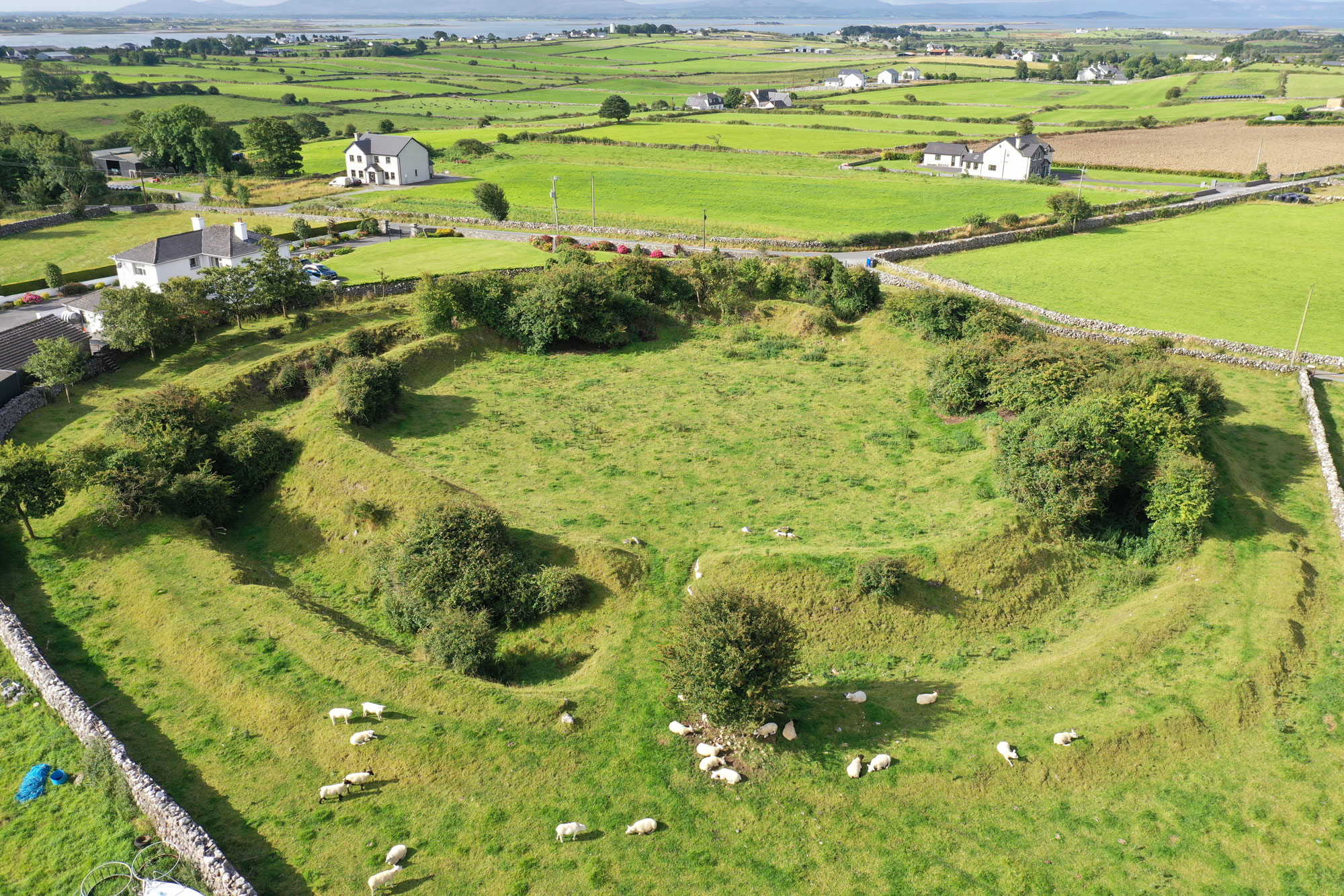 Fairy fort / earthen ringfort in GarranbaneFairy fort / earthen ringfort · 4.4 mi
Explorer Tom Fairy fort / earthen ringfort in Garranbane is having a bit of a rivalry with more famous places nearby. It’s got views…
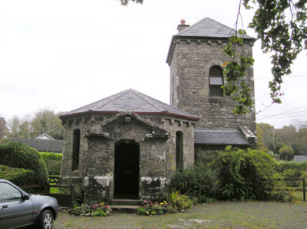 Glenstal AbbeyGate lodge · 4.4 mi
Explorer Tom Glenstal Abbey’s New Year’s resolution is to stop looking so Norman Revival and more like an abbey. The Barrington…
 Clare GlensWood · 5.0 mi
Explorer Tom Clare Glens is where the seagulls hold their weekly council meetings, arguing over who gets the best fishing spot by…
More archaeology and monuments in County Limerick · All of County Limerick

What do you know about this place?Tap to add a comment or ask a question