What is recorded here
Locating a broad expanse of wet, extensively worked bog, with old, heather-covered turf cutting interspersed with sphagnum pools. Small scale cutting/harvesting by machine takes place in some sections of the bog. This record was not listed in the SMR (1989). It refers to a ‘post row –pre-bog’ which was first noted in the early 1990’s and was listed in the RMP (1995) at IG 137230 326170 (equating to ITM 537195 826178): the source of this record is unknown and there is no field report from the 1990’s on file. The location as depicted on the 1913 OS 6-inch map is largely featureless and it is likely that the co-ordinates recorded in the RMP (1995) were approximate only. The area was inspected in 2014. No trace of the field wall was found. Its exact location remains unknown.
Compiled by: Jane O'Shaughnessy
Date of upload: 17 July 2014
The monument record does not grant public access. Check the route and ask the landowner before entering private land.
- What survives
- Recorded monument
Places near here
 Enclosure in Carns (tireragh By.)Enclosure · 1.4 mi
 Field boundary in Caltragh (tireragh By., Rathmacurkey Ed)Field boundary · 2.0 mi
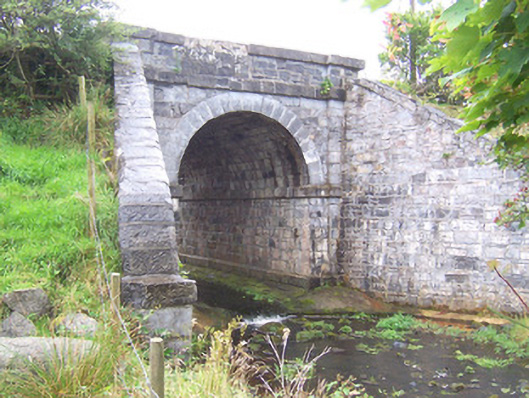 bridgebridge · 3.1 mi
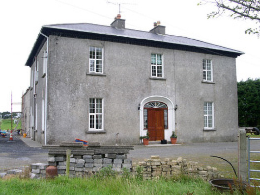 Oghil Housecountry house · 4.0 mi
 MeenamaddoMountain / peak · 4.4 mi
 CastleCastle, unclassified · 5.0 mi
 Grave of the Black PigArchaeological place · 5.1 mi
 Largan HillMountain / peak · 5.2 mi
 Ballynahowna CastleCastle, tower house · 5.4 mi
 Wild Atlantic Way: Inishcrone PierVisitor information · 5.9 mi
 Lough Talt TrailVisitor information · 6.3 mi
 Split RockNamed rock · 7.0 mi