
What is recorded here
In pasture, on the S side of a low ridge. Raised oval area (32.5m E–W; 27.5m N–S; H 1.5-2m) with a gently domed profile and broadly sloping sides. Stones protrude from the sod on the slope on the E side. According to local information, it was used as a burial ground (SL023-005002-). A field boundary, on a roughly N–S axis, lies immediately to E, a field drain skirts around the enclosure SE-NW, and there is a road, on an E–W axis immediately to N.
Compiled by: Jane O'Shaughnessy
Date of upload: 26 February 2013
The monument record does not grant public access. Check the route and ask the landowner before entering private land.
- What survives
- Recorded monument
Places near here
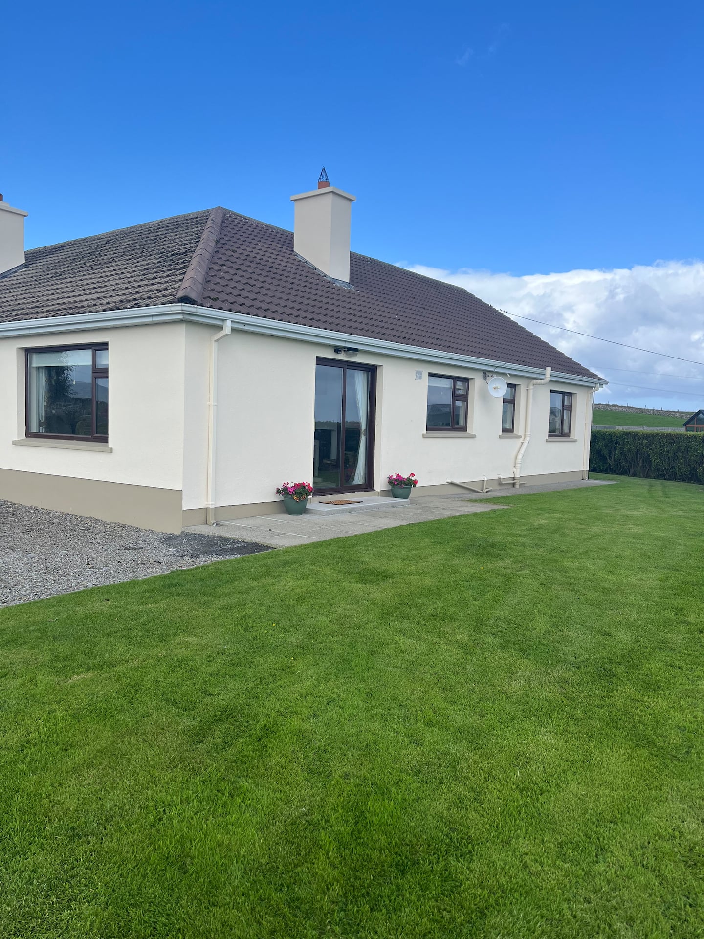 Enclosure in CulleensEnclosure · 2.1 mi
 Field boundary in Caltragh (tireragh By., Rathmacurkey Ed)Field boundary · 2.3 mi
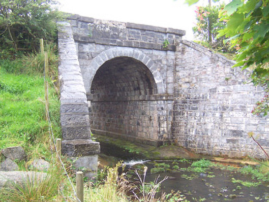 bridgebridge · 3.2 mi
 Castletown Housecastle/fortified house · 3.5 mi
 Grave of the Black PigArchaeological place · 3.7 mi
 CastleCastle, unclassified · 3.7 mi
 The Black PigMemorial · 4.4 mi
 Wild Atlantic Way: Inishcrone PierVisitor information · 4.6 mi
 Enniscrone BeachBeach / strand · 4.9 mi
 Castle FirbisCastle, tower house · 5.0 mi
 Largan HillMountain / peak · 6.0 mi
 KnockasliggaunMountain / peak · 6.8 mi
Other information
Photo: Credit not shown in the picture search · Rights wording not checked; contact us if this picture should be removed