What is recorded here
No visible facts exist. The claim and the warning both point to the same missing evidence. Stop inventing the story and provide the facts that should be visible.
The official Northern Ireland record identifies this as POSSIBLE RATH & ENCLOSURE. Recorded period: E.CHRIST.. The official map point was placed at the centre of the recorded archaeological site from the source map reference.
A possible rath and enclosure, likely dating to the early medieval period, associated with the broader tradition of fairy forts in Irish folklore, often believed to be the homes of the Aos Sí or supernatural beings.
The monument record does not grant public access. Check the route and ask the landowner before entering private land.
- What survives
- Recorded monument
Places near here
 ENCLOSURE (rath?); Man-made underground passage; 7 CIRCULAR HOUSES (O.S. memoir site) in Lisbellanagroagh BegENCLOSURE (rath?); Man-made underground passage; 7 CIRCULAR HOUSES (O.S. memoir site) · 283 yd
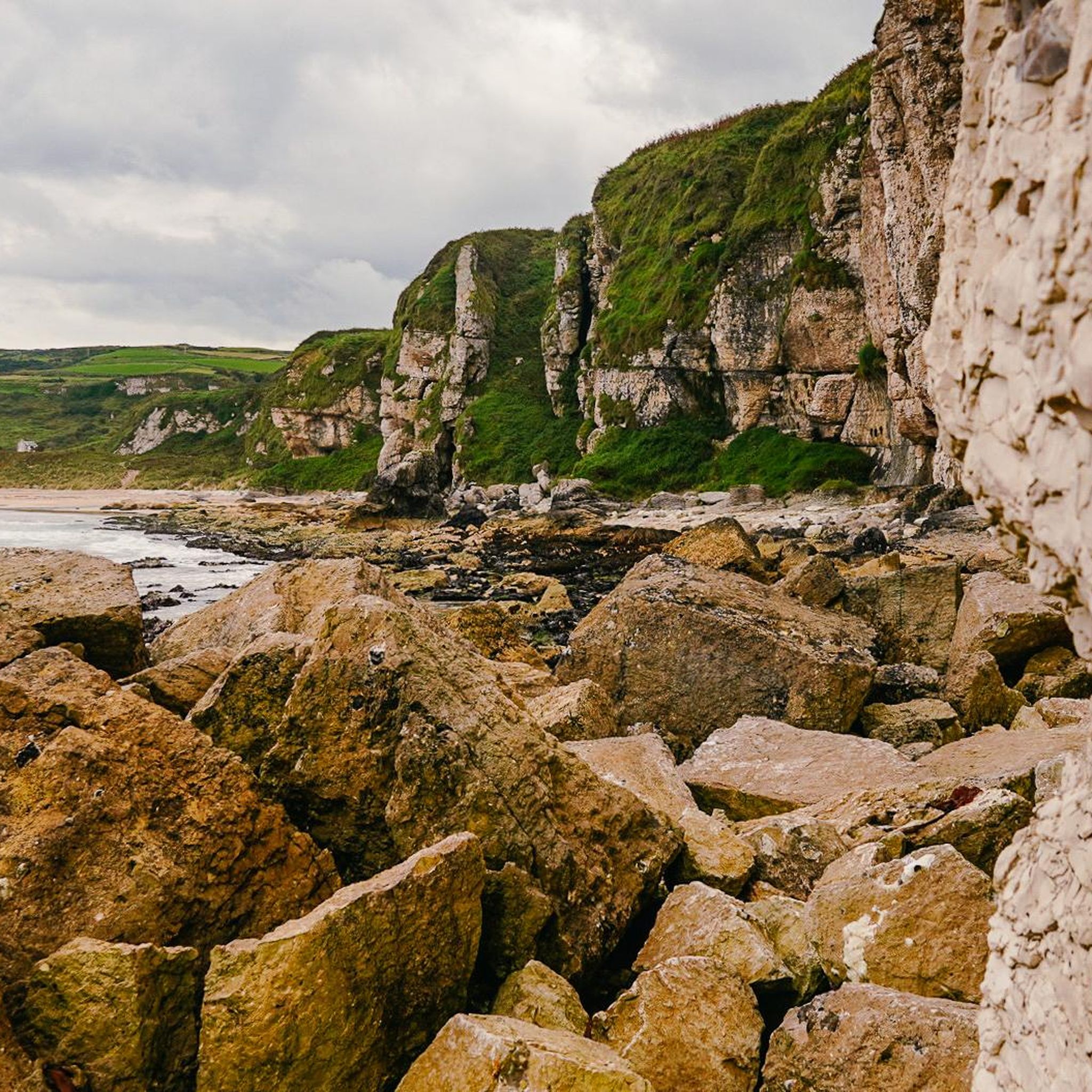 ENCLOSURE in BallynastraidENCLOSURE · 479 yd
 White Park BayVisitor information · 1175 yd
 Dunseverick FallsWaterfall · 1.1 mi
 DunsevrickCliff · 1.3 mi
 Dunseverick CastleCastle · 1.4 mi
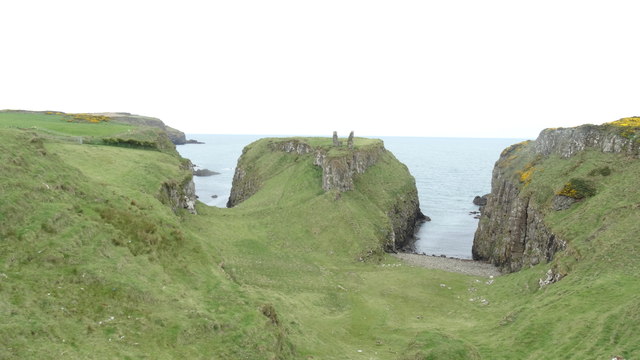 DUNSEVERICK CASTLE in Feigh Alias DunseverickDUNSEVERICK CASTLE · 1.4 mi
 Dunseverick Parish ChurchChurch · 1.6 mi
 Fullerton ArmsPublic House · 2.6 mi
 Sheep IslandIslet · 3.2 mi
 Red Trail, Giant's CausewayWalking route · 3.6 mi
 Blue Trail, Giant's CausewayWalking route · 3.6 mi