
What is recorded here
In pasture, occupying a slight rise in gently undulating terrain. Located in the NE of the townland, within 100m of the townland boundary.
This rath, named ‘Pollmore’ on the 1838 and 1922 OS 6-inch maps, consists of a raised oval area (27.9m N–S; 21.3m E–W) defined by remnants of a bank. The bank (Wth c. 3m; int. H 0.3m; ext. H 0.9m at S, 1.4m at E) is evident as an earthen scarp topped with a raised rim of earth and stone for much of the circuit. On the W arc it is truncated by a N–S field fence, and at N-NE it has been levelled to a low, broadly slumped scarp. The original entrance is not apparent. The perimeter is ringed with hawthorn, blackthorn and brambles. There is another rath (MA038-107----) c. 40m to SW.
Compiled by: Jane O'Shaughnessy
Date of upload: 9 August 2019
The monument record does not grant public access. Check the route and ask the landowner before entering private land.
- What survives
- Recorded monument
Places near here
 RaheenFairy fort / earthen ringfort · 81 yd
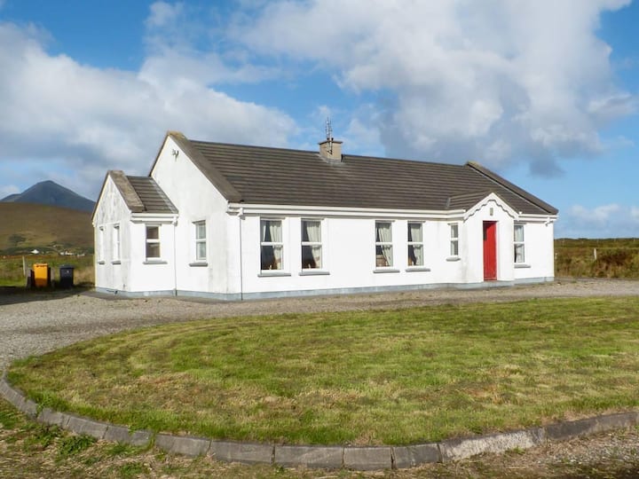 Enclosure in BallyvicmahaEnclosure · 624 yd
 RathmoreCastle, motte · 1637 yd
 Catholic Church of Our Ladychurch/chapel · 1.2 mi
 Church in ruinsChurch · 1.2 mi
 Grave of the KingsArchaeological place · 1.5 mi
 Ballyduffy CastleCastle, unclassified · 1.5 mi
 Titanic Memorial ParkMemorial · 2.4 mi
 NephinMountain / peak · 3.0 mi
 Castle IslandIslet · 3.1 mi
 Roe IslandIslet · 3.4 mi
 KnockaffertaghMountain / peak · 6.1 mi
Other information
Photo: Credit not shown in the picture search · Rights wording not checked; contact us if this picture should be removed