What is recorded here
A wide band (overall L 7.5m, T 0.15m) of mainly small brushwood (diam. 0.02-0.03m) , orientated N-S, was visible in both faces of a drain. No woodworking was visible. Originally recorded as 27A and 28A but believed to be one monument. The evidence suggested that this was most likely to be the remains of a platform.
Compiled by: Mary Tunney based on data supplied by Jane Whitaker, Archaeological Development Services.
Date of upload: 26 August 2011
The monument record does not grant public access. Check the route and ask the landowner before entering private land.
- What survives
- Recorded monument
Places near here
 RoadRoad, class 2 togher · 174 yd
 PlatformPlatform, peatland · 256 yd
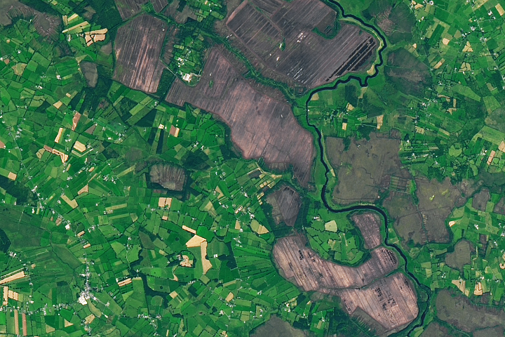 StructureStructure, peatland · 869 yd
 42nd Locklock keeper's house · 946 yd
 IndicatedBawn · 1652 yd
 Bawn in BallyknockBawn · 1.5 mi
 Graveyard in Curry (ardagh By., Coolamber Ed)Graveyard · 3.1 mi
 White Sand WoodWood · 5.4 mi
 Wild birdsVisitor information · 5.5 mi
 Commons North WalkVisitor information · 5.5 mi
 Ballyclare IslandIslet · 6.0 mi
 Elfeet BayBay · 6.8 mi