What is recorded here
On top of a natural hillock in upland region with good panoramic views in all directions, area of monument now occupied by a large deep quarry. Indicated as a small circular enclosure (diam. c. 30m) on 1st (1840) ed. OS 6-inch map and as a raised earthwork on the 2nd (1953-4) ed. Ringfort (TS053-085-----) located 260m to SE.
Compiled by: Jean Farrelly
Date of upload: 26 August 2011
The monument record does not grant public access. Check the route and ask the landowner before entering private land.
- What survives
- Recorded monument
Places near here
 Taylor's WoodWood · 460 yd
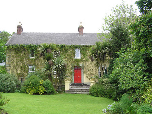 Derrynaflan Househouse · 1047 yd
 Ballinure HillMountain / peak · 1141 yd
 Church in RuinsChurch · 1456 yd
 IndicatedFairy fort / earthen ringfort · 1630 yd
 Noan WoodWood · 1699 yd
 Hilltop enclosure in Ballaghboy (graystown Par.)Hilltop enclosure · 1.0 mi
 Castle in RuinsCastle, motte and bailey · 1.3 mi
 The GarrisonCastle, tower house · 1.5 mi
 Gobban Saer's GraveArchaeological place · 3.7 mi
 Ballyknock HillMountain / peak · 4.1 mi
 Horse and JockeyVisitor information · 4.2 mi