
What is recorded here
In undulating terrain, under pasture. A large circular cropmark (diam. c. 90-100m) was identified on aerial photography (OSI Orthophotos 1995 and Bing maps March 2001- November 2011) taken when the field was under tillage. The cropmark, indicating the presence of a fosse, encloses a flat-topped hill with gradually sloping sides, except in the S-SE where the ground edge of the hill is less pronounced. The fosse is not visible at ground level.
Compiled by: Jean Farrelly
Date of upload: 6 May 2015
The monument record does not grant public access. Check the route and ask the landowner before entering private land.
- What survives
- Recorded monument
Places near here
 Noan WoodWood · 514 yd
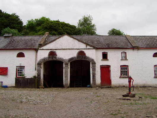 Noan Housefarmyard complex · 585 yd
 IndicatedFairy fort / earthen ringfort · 808 yd
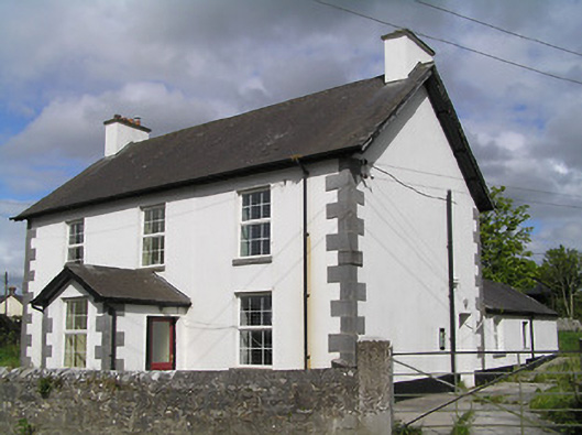 Ballinure Garda Síochána Stationgarda station/constabulary barracks · 1479 yd
 Taylor's WoodWood · 1665 yd
 Ballinure HillMountain / peak · 1.4 mi
 Castle (in ruins)Castle, tower house · 1.6 mi
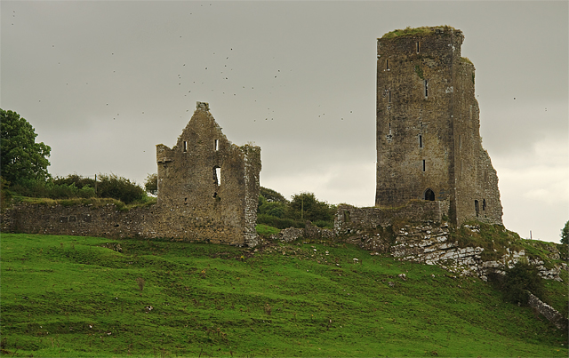 Bawn in GraystownBawn · 1.7 mi
 Enclosure in SilverfortEnclosure · 1.9 mi
 Gobban Saer's GraveArchaeological place · 3.0 mi
 Slieveardagh Heritage CentreVisitor information · 3.5 mi
 Horse and JockeyVisitor information · 3.9 mi
Other information
Photo: Credit not shown in the picture search · Rights wording not checked; contact us if this picture should be removed