DDiscover AloneMapAbout

Platform in Drumfad Lower

Platform
Computer-made picture that does not show Platform in Drumfad LowerNot a photo of this monument
Computer-made picture. It does not show this monument. · Report the wrong picture

What is recorded here

In pasture, located on top of a broad low hill, overlooked to N by a higher hill and at SE–S by Knockalla Mountain, which spans the E–W width of the Fanad Peninsula. To N–NE there are distant views of Lough Swilly with the uplands of the Inishowen peninsula beyond. There is a gentle fall of ground immediately to NE of…

Read the whole record
In pasture, located on top of a broad low hill, overlooked to N by a higher hill and at SE–S by Knockalla Mountain, which spans the E–W width of the Fanad Peninsula. To N–NE there are distant views of Lough Swilly with the uplands of the Inishowen peninsula beyond. There is a gentle fall of ground immediately to NE of the platform. A bye-road borders the S side of the field. This monument is not indicated on any edition of the OS 6-inch maps. It consists of a low, roughly equal-sided triangular platform (side L 10-12m) defined by a relatively vertical-sided stone-faced scarp (H 0.3-0.5m). The scarp is lowest on the W side (H 0.3m), and somewhat higher on the E and S sides (H 0.4-0.5m), where there is a natural all of ground. The stone facing is most clearly visible on the W side where it appears to consist of a close-set row of medium to large-sized stones, one stone high. Some of the larger stones/boulders may be field clearance stones pushed against the platform. The platform appears to be of earthen construction; the flat-top is grass-covered. A partly sod-covered concentration of stones is located on top of the platform at its SW corner, and a scatter of loose stones rests on the central area of the platform. Small blackthorn scrub grow along the scarp on the S half of the E side. The nature of this platform is uncertain. The field is known locally as the ‘Fort field’; one local tradition is that it was used as ‘a look-out point’. Attached images: DG018-042----_01.JPG viewed from W DG018-042----_02.JPG stone-facing on W side DG018-042----_03.JPG viewed from SE DG018-042----_04.JPG viewed from SW Compiled by: Jane O’Shaughnessy Date of upload: 15 June 2023

From the National Monuments Service (Archaeological Survey of Ireland) record DG018-042

The monument record does not grant public access. Check the route and ask the landowner before entering private land.

What do you know about this place?Tap to add a comment or ask a question

What you write will be public.

Places near here

Photo credits
  • Kenneth Allen, Wikimedia Commons · CC BY-SA 2.0
  • Maker not stated on source page, en.m.wikipedia.org
  • Maker not stated on source page, en.wikipedia.org
  • Maker not stated on source page, commons.wikimedia.org
  • National Inventory of Architectural Heritage
  • Maker not stated on source page, www.rte.ie
  • Kenneth Allen, Geograph · CC BY-SA 2.0
  • Golfing in Ireland; photographer not stated, Source publisher
  • Richard Webb, Wikimedia Commons · CC BY-SA 2.0
  • Rossographer, Geograph · CC BY-SA 2.0
  • Maker not stated on source page, ru.dreamstime.com
Drumfad Lower Standing StoneStanding stone · 462 yd

Explorer Tom This standing stone in Drumfad Lower used to stand proudly on a ridge with sweeping views of Trusk More, though it did…

CairnCairn, unclassified · 1129 yd

Explorer Tom Cairn in Ballynashannagh was being removed when a stone burial box was reported on its north side. The account records…

Cist in BallynashannaghCist · 1129 yd

Explorer Tom Cist in Ballynashannagh sits there with its face completely down, refusing to make eye contact. I suspect it is just…

Killavee Burial GroundBurial ground · 1.1 mi

Explorer Tom Killavee Burial Ground is buried under heavy overgrowth on the edge of the sand hills behind Stocker Strand. Davies saw…

Ardroe CottageHouse · 1.2 mi

Explorer Tom Ardroe Cottage has little metal pegs sticking out of its thatched eaves! Built around 1780, they look like giant safety…

GreenfortWalled garden · 1.2 mi

Explorer Tom Greenfort's walled garden was built around 1830, with a central hedge, a kitchen garden and a garden temple. I thought…

Páirc Uí Shiadhail, Fanad Gaels GAAGAA ground · 1.4 miPortsalonOfficial bathing water · 1.4 mi

Explorer Tom Portsalon has a beach so gracefully curved that it looks as if Lough Swilly used a compass and then showed off.…
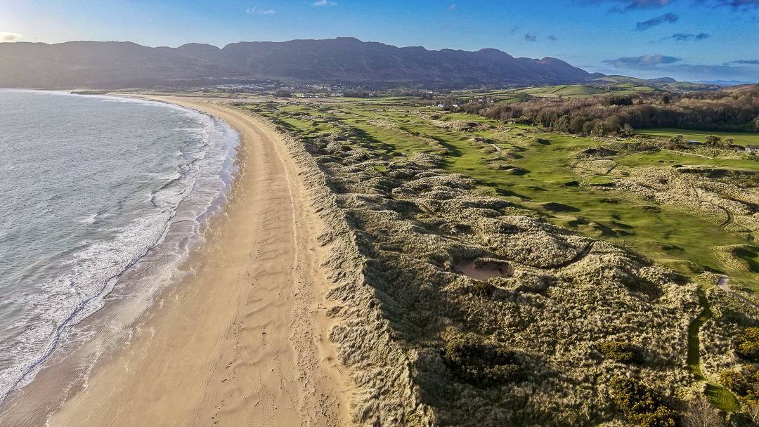
Portsalon Golf ClubGolf course · 1.4 miBallymastocker StrandViewpoint · 1.7 mi

Explorer Tom Ballymastocker Strand Viewpoint would bring a very aggressive bag of crisps and a blanket with no pattern to any party…

Wild Atlantic Way:Ballymastocker StrandVisitor information · 1.7 mi

Explorer Tom Wild Atlantic Way:Ballymastocker Strand in County Donegal would post on social media that it’s 'too majestic for your…

Mapped graveyardGraveyard · 2.1 mi

Explorer Tom Another Mapped graveyard in County Donegal for us! If this place won the lotto, I bet it would buy a very fancy new…

More archaeology and monuments in County Donegal · All of County Donegal

Add to this placeAdd a picture Add a detailed tip Add a story

Explore the map1,095,414 places to discover

Next place · or swipeDrumfad Lower Standing Stone