What is recorded here
On flood-land area of small lake located immediately to E as depicted on historic OSi maps. Outline of roughly circular-shaped earthwork (diam. c. 18m) surrounded by water is visible on Google Earth orthoimages and on Lidar imagery. Possible wetland habitation platform with oval-shaped earthwork (LF021-068----) immediately to W. See attached Google Earth orthophotos
Compiled by: Caimin O'Brien based on details provided by Jean-Charles Caillère
Date of upload: 12 July 2022
From the National Monuments Service (Archaeological Survey of Ireland) record LF021-067
The monument record does not grant public access. Check the route and ask the landowner before entering private land.
- What survives
- Recorded monument
Places near here
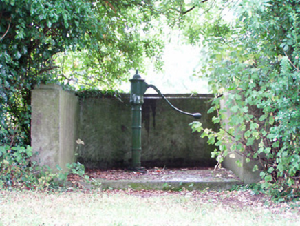 water pump485 yd
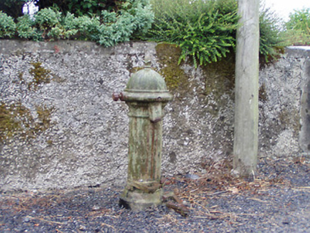 water pump914 ydMan-made underground passage in FortwilliamMan-made underground passage · 915 ydIndicatedEnclosure · 969 ydPriest's IslandIslet · 1.9 mi
 Rathcline CastleBawn · 2.4 mi
 Rathcline CastleHouse, fortified house · 2.4 mi
 InchcleraunIsland · 2.7 miWhite Sand WoodWood · 2.7 miElfeet BayBay · 3.0 miCulnagore WoodForest · 3.1 miWild birdsVisitor information · 3.3 mi
Pictures: National Inventory of Architectural Heritage; Kieran Campbell, Geograph · CC BY-SA 2.0; Mike Searle, Geograph · CC BY-SA 2.0; AndreasDelp, Wikimedia Commons · CC BY-SA 4.0
More archaeology and monuments in County Longford · All of County Longford
What do you know about this place?