
What is recorded here
Screggan 2 was excavated by Linda Hegarty of Headland Archaeology under licence No. E2848 and was located approximately 5.5km south-west of Tullamore town centre. The land comprised grass, cut for silage prior to the time of testing in February 2007. A pit was identified towards the eastern end of Trench 12. An…
Read the whole record
From the National Monuments Service (Archaeological Survey of Ireland) record OF016-081
Places near here
Picture notes
- Computer-made picture. It does not show this monument.
- Computer-made picture. It does not show this mountain top.
- Computer-made picture. It does not show this holy well.
- MPF, Wikimedia Commons · CC BY 2.5
- National Inventory of Architectural Heritage
- Sitomon, Wikimedia Commons · CC BY-SA 2.0
- Kieran Campbell, Wikimedia Commons · CC BY-SA 2.0
 Cromwells LinesLinear earthwork · 373 ydComputer-made picture
 Ardnagross HillMountain / peak · 403 ydComputer-made picture
 Ancient EntrenchmentLinear earthwork · 511 ydComputer-made picture
Explorer Tom Ancient Entrenchment in Cloghanbane was the site of the world’s first bad date, allegedly involving a very confused ox. It’s half-buried now, which honestly suits its shy personality. Dare you to say hello to it out loud.
 Ardnagross WellHoly well · 546 ydComputer-made picture
Explorer Tom Ardnagross Well in Screggan is in a quarry with refuse submerged in the water. Locals say a cross was lit here to guide boats, which sounds like a lot of work. Bring a pen pal, they'll be jealous.
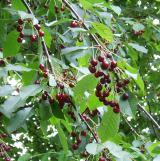 Wild Cherry851 ydSugar HillMountain / peak · 1525 yd
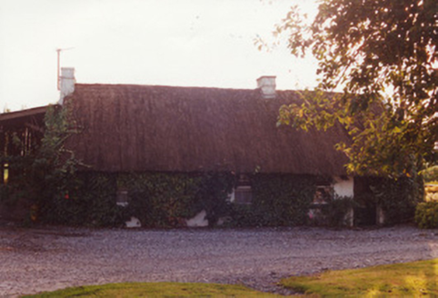 farm house1601 yd
Explorer Tom Farm house in Lynally Glebe is hiding a scandal where the thatch argued with the chimney. It sits sideways to the road because it’s avoiding eye contact with traffic. Stand back, squint, and pretend the low stacks are actually tiny hats.
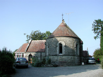 Saint Bartholomew's Church (Lynally)Church/chapel · 1.3 mi
Explorer Tom Saint Bartholomew’s Church (Lynally) is now a house, so it teaches history by letting you live inside its past. The graveyard out front still keeps score of who left first. Great spot to prowl around the edges quietly.
 European Yew1.5 mi
 Ballycowan Castle (in Ruins)Bawn · 1.9 miBallycowan CastleCastle · 1.9 miChrist's WellSpring · 1.9 mi
More archaeology and monuments in County Offaly · All of County Offaly

What do you know about this place?Tap to add a comment or ask a question