What is recorded here
This bowl shaped pit was excavated (Licence no. 03E0067) in advance of development. The single pit (0.96m diam.) had a maximum depth of 0.35m and contained a charcoal rich fill which produced a radiocarbon date range of 260-280 AD (Carroll et al. 2008, 21).
From the National Monuments Service (Archaeological Survey of Ireland) record DU005-130
The monument record does not grant public access. Check the route and ask the landowner before entering private land.
- What survives
- Recorded monument
Places near here
Photo credits
- National Inventory of Architectural Heritage
- Jonjobaker, Wikimedia Commons · CC BY-SA 4.0
- Offdaw, Wikimedia Commons · CC BY-SA 4.0
- GsmithEIDW at English Wikipedia, Wikimedia Commons · Public domain
Flat cemetery in DarcystownFlat cemetery · 65 ydPit-burial in Glebe SouthPit-burial · 143 ydCremation pit in DarcystownCremation pit · 175 yd castle/fortified house495 ydSaint Peter's Church (Balrothery)Church/chapel · 518 ydBalrothery Heritage CentreMuseum · 519 ydBalrothery TowerCastle · 532 ydWavin LakesNature reserve · 1209 ydBarn WoodWood · 1583 ydBbq AreaPicnic place · 1687 ydArdgillan CastleHeritage attraction · 1720 ydCastle (remains of)Castle, tower house · 1.0 mi
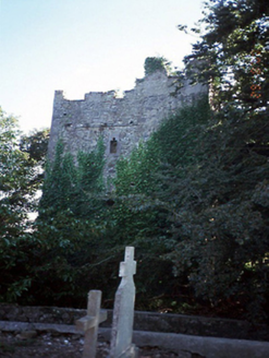 castle/fortified house495 yd
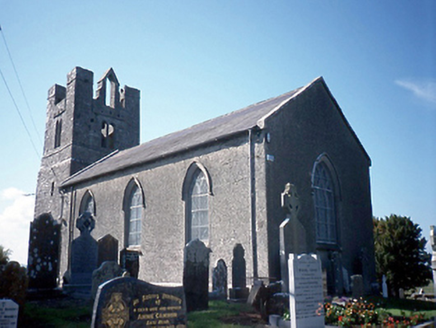 Saint Peter's Church (Balrothery)Church/chapel · 518 yd
 Balrothery Heritage CentreMuseum · 519 yd
 Balrothery TowerCastle · 532 ydWavin LakesNature reserve · 1209 ydBarn WoodWood · 1583 ydBbq AreaPicnic place · 1687 yd
 Ardgillan CastleHeritage attraction · 1720 ydCastle (remains of)Castle, tower house · 1.0 mi
More archaeology and monuments in County Dublin · All of County Dublin
What do you know about this place?