What is recorded here
There was a cluster of three intercutting pits (dims 1.2m x 0.85m; D 0.19m to 1.7m x 1.42m; D 0.48m) c. 12m E of Neolithic house A. The fills were sands and clays and a tanged knife blade of 11th to 13th century date, an iron ring and a sherd of Meath-type ware was recovered from one of them. A C14 date from this pit returned a date of 1015-1157 cal. AD ((UBA 11091). A gully (Wth 0.7m; D 0.28m; L 9.5m plus) extended NE from the largest pit, and a shallow pit (dims 1.8m x 1.4m; D 0.17m) c. 9m to the W produced a piece of slag and so is probably related, although no metalworking features were identified. (McLouoghlin 2010, 20-22)
See the attached plans adapted from McLoughlin 2010 (figs 5, 17)
ME017-089_1 Location;
ME017-089007-_1 Plan;
Compiled by: Michael Moore
Date of upload: 23 March 2022
The monument record does not grant public access. Check the route and ask the landowner before entering private land.
- What survives
- Recorded monument
Places near here
 Enclosure in Kilmainham (kells Upper By., Teltown Par.)Enclosure · 510 yd
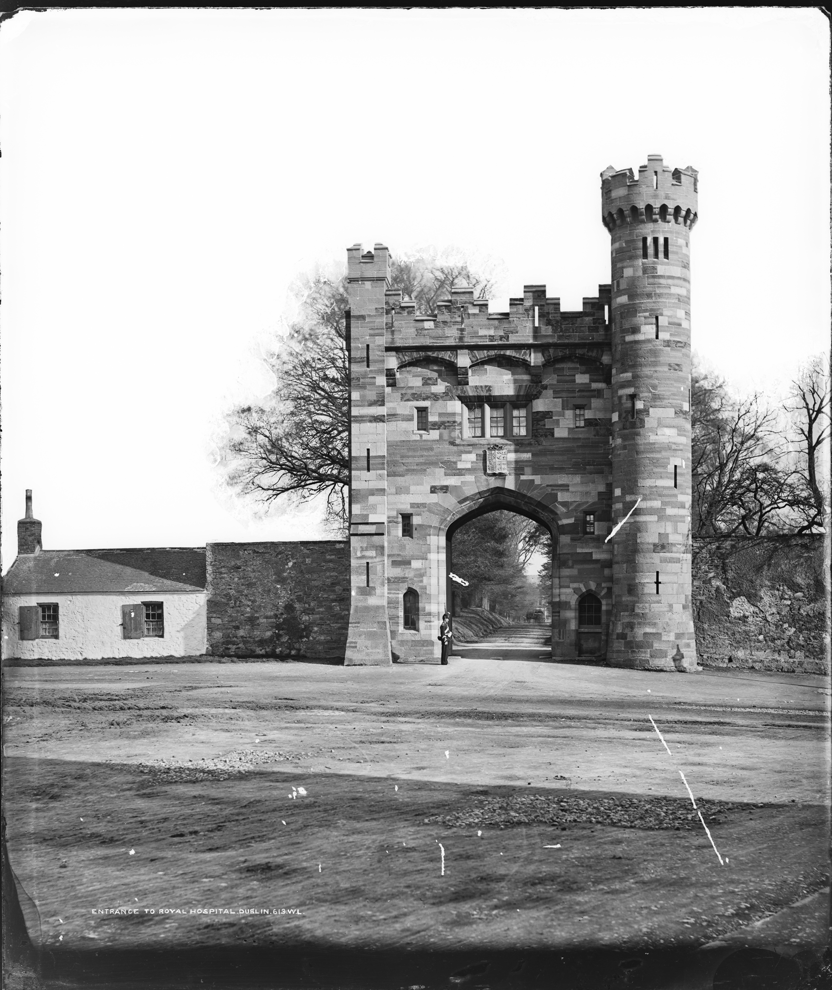 Enclosure in Kilmainham (headford)Enclosure · 1480 yd
 Long WoodWood · 1.0 mi
 Furzy WoodWood · 1.0 mi
 CastleCastle, motte · 1.2 mi
 Castle ruinsCastle · 1.2 mi
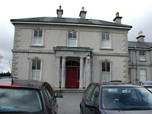 Eurekahouse · 1.4 mi
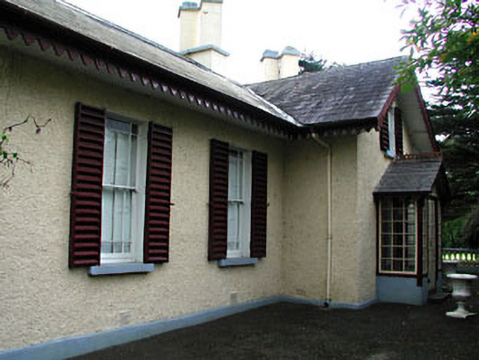 Kenlis Lodgehouse · 1.4 mi
 Saint John's CemeteryMemorial · 1.5 mi
 The Parnell GardenMemorial · 1.5 mi
 BallybegMountain / peak · 1.5 mi
 BalreaskMountain / peak · 3.1 mi