What is recorded here
Situated on a gentle NW-facing slope. This was identified in archaeological testing (E004863) by T. Coughlin of a large area (dims c. 250m NNE-SSW; c. 75-130m WNW-ESE) required for the works associated with the M11 Enniscorthy bypass (excavations.ie 2017:692). It is a single pit (dims 1.75m E-W; 1.2m N-S), and although the open area was expanded no other features were present. The pit, which has an oxidised base, was sampled and was filled with a single charcoal-rich layer that had some stones. As it was not directly affected by the works it was recommended for preservation in situ. (Coughlan and Elder 2019)
Compiled by: Michael Moore
Date of upload: 7 November 2020
The monument record does not grant public access. Check the route and ask the landowner before entering private land.
- What survives
- Recorded monument
Places near here
 Hearth in BessmountHearth · 314 yd
 Fulacht fia in Monart EastFulacht fia · 606 yd
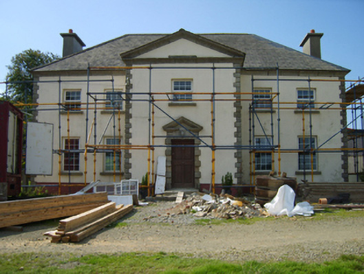 Broomlandsfarm house · 734 yd
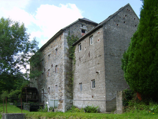 mill (water)mill (water) · 844 yd
 Daphney CastleCastle, unclassified · 1.2 mi
 Bernard Dunne Memorial BenchMemorial · 2.1 mi
 Le Tour De France en EnniscorthyMemorial · 2.1 mi
 Battle of Vinegar HillMajor battlefield · 2.3 mi
 National 1798 CentreMuseum · 2.4 mi
 CastleCastle, ringwork · 3.3 mi
 Pedunculate OakPedunculate Oak · 4.1 mi
 Raheennahoon HillMountain / peak · 6.9 mi