
What is recorded here
From the National Monuments Service (Archaeological Survey of Ireland) record WI031-096
Places near here
Photo credits
- Maker not stated on source page, www.flickr.com
- Maker not stated on source page, www.dreamstime.com
- National Inventory of Architectural Heritage
- Sitomon, Wikimedia Commons · CC BY-SA 2.0
- Willow, Wikimedia Commons · CC BY 2.5
- Maker not stated on source page, www.pinterest.com
- Darrendirl, Wikimedia Commons
 Ecclesiastical enclosure in KilboyEcclesiastical enclosure · 482 yd
Explorer Tom Ecclesiastical enclosure in Kilboy is playing hide-and-seek with me, hiding under a slope where bones were found…
 Graveyard in KilboyGraveyard · 482 yd
Explorer Tom Graveyard in Kilboy was built on a bargain where someone promised free land in exchange for not digging up too many…
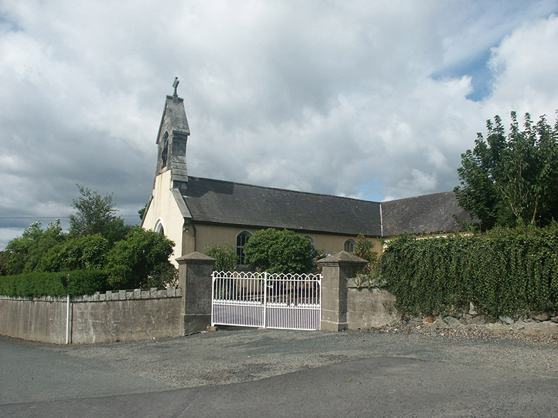 Saint Brigid's Catholic ChurchChurch/chapel · 1189 yd
Explorer Tom Saint Brigid’s Catholic Church in Ballinameesda Lower is a mid-19th-century building that blends in so well you might…
Enclosure in Ballard UpperEnclosure · 1231 ydExplorer Tom Enclosure in Ballard Upper used to be ruled by a goat who wore a tiny crown and made terrible decisions about where to…
 Springfield HouseHouse · 1551 yd
Explorer Tom Springfield House is annoyed by the road leading to it because it keeps getting potholes near the front door. It thinks…
 European Yew1587 yd
Explorer Tom European Yew in County Wicklow introduces itself as 'The One Who Survived' with a wink that could melt ice caps. It’s…
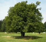 European hornbeam1589 yd
Explorer Tom European hornbeam in County Wicklow brings a massive wheel of brie to every party, which is bold but honestly quite…
 Graveyard in Dunganstown WestGraveyard · 1596 yd
Explorer Tom Graveyard in Dunganstown West would teach history by just sitting there and doing absolutely nothing until you got…
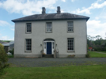 Dunganstown HouseCountry house · 1599 yd
Explorer Tom Dunganstown House was built on a bargain where the mason got paid in extra bread rolls. It’s a strong heritage asset…
 Dunganstown Castle (in Ruins)House, 16th/17th century · 1651 yd
Explorer Tom Dunganstown Castle holds a fake world record for being the most confused about which century it actually belongs to…
 Standing stone in Dunganstown WestStanding stone · 1699 yd
Explorer Tom Standing stone in Dunganstown West is hiding a scandal it's been keeping for centuries, probably about who really moved…
 Kilmacurragh ArboretumGarden · 1.6 mi
Explorer Tom Kilmacurragh's National Botanic Gardens spread across a Wicklow estate where trees from distant places found unusually…
More archaeology and monuments in County Wicklow · All of County Wicklow

What do you know about this place?Tap to add a comment or ask a question