What is recorded here
Situated on a low sandy ridge. Sherds of an encrusted urn and a cremation were found in a sand pit. Not visible at ground level. (Riley 1937, 308-9; Waddell 1990, 163)
The above description is derived from the published 'Archaeological Inventory of County Wicklow' (Dublin: Stationery Office, 1997). In certain instances the entries have been revised and updated in the light of recent research.
Date of upload/revision: 17 December 2008
A pit-burial containing a cremation and encrusted urn, likely dating to the Early Bronze Age; its significance lies in providing evidence of funerary practices associated with this period in the region.
The monument record does not grant public access. Check the route and ask the landowner before entering private land.
- What survives
- Recorded monument
Places near here
 R.C. Chapel (in Ruins)Church · 318 yd
 Chapel WellHoly well · 401 yd
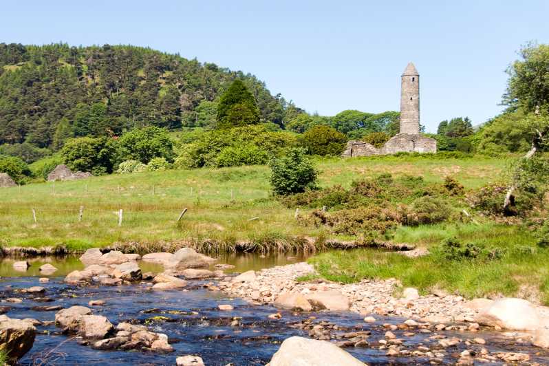 IndicatedEnclosure · 1386 yd
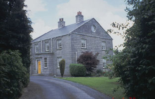 Killinure Housefarm house · 1690 yd
 Church (in ruins), GraveyardChurch · 1.7 mi
 European BeechEuropean Beech · 2.2 mi
 SycamoreSycamore · 2.3 mi
 Clonmore Castle (in Ruins)Castle, Anglo-Norman masonry castle · 2.7 mi
 Clonmore MoatCastle, motte and bailey · 2.9 mi
 Ballynultagh HillMountain / peak · 3.1 mi
 Acaun Church (in ruins), GraveyardChurch · 4.6 mi
 Eagle HillMountain / peak · 4.6 mi