What is recorded here
Situated on a gentle S-facing slope. Archaeological centre-line testing (04E1055) by D. Bayley (2005) at Testing Area 4 of Contract 5 of the M3 motorway (excavations.ie 2004:1223) identified archaeological material that was fully resolved (E003174) by E. Danaher in November 2006 as Drumbaragh 2 (excavations.ie 2006:1548). A small scoop (diam. 0.3m; D 0.02m) had a dark-grey silty clay fill with a small amount of cremated bone that might have been animal or human but it returned a C14 date of 1261-1006 cal. BC (Beta 247169) and is probably the remains of a pit-burial. Another small pit (diam. 0.47m; D 0.16m) was filled with a grey-brown silty clay with charcoal flecks and small stone inclusions but no bone was present. A large pit (dims 5.3m x 3.4m; D 0.5m) was filled with a brown clayey silt with some animal bone and small stone inclusions, but this pit is probably recent. (Danaher 2008)
Compiled by: Michael Moore
Date of upload: 4 March 2022
Pit-burial in Drumbaragh is a prehistoric burial feature, likely dating to the Neolithic or early Bronze Age. Its discovery during motorway excavations highlights the presence of early human activity in the region, though its wider significance remains limited due to incomplete documentation.
The monument record does not grant public access. Check the route and ask the landowner before entering private land.
- What survives
- Recorded monument
Places near here
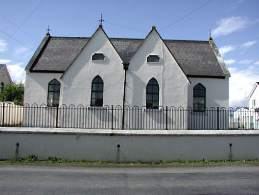 Drumbaragh National Schoolschool · 536 yd
 Decoy WoodWood · 1329 yd
 Enclosure in Boolies (kells Upper By., Burry Ed)Enclosure · 1.2 mi
 Sylvan Park WoodsForest · 1.2 mi
 ChapelChurch · 1.4 mi
 Grave YardGraveyard · 1.4 mi
 The Pauper's CemeteryMemorial · 1.7 mi
 The Kieran Flanagan WayMemorial · 1.7 mi
 MountainpoleMountain / peak · 2.6 mi
 CloncatMountain / peak · 2.6 mi
 Round TowerCastle, tower house · 3.1 mi
 Balgree MoteCastle, motte · 3.4 mi