What is recorded here
Identified in centre-line testing (E4110) in advance of the M11 Gorey to Enniscorthy road scheme and resolved (E4347) by A. Mulcahy as Askunshin 3 during the testing phase (Hardy et al. 2010, 121-2). It is located in a slight col between a low hill c. 860m to the NNW and a slight rise c. 250m to the SSE. It proved to be a single pit (dims 0.49m x 0.42m; D 0.08m) filled with two deposits, both containing burnt bone. The bone proved to be animal rather than human, but a sample from the lower fill produced a C14 determination of Cal. BC 1403-1262. The pits (WX019-035----) are c. 260m to the NE. (Mulcahy 2012; 2013)
Compiled by: Michael Moore
Date of upload: 28 November, 2013
Pit-burial in Askunshin is a medieval burial site, significant for its context within early Christian or Viking-era funerary practices in the region.
The monument record does not grant public access. Check the route and ask the landowner before entering private land.
- What survives
- Recorded monument
Places near here
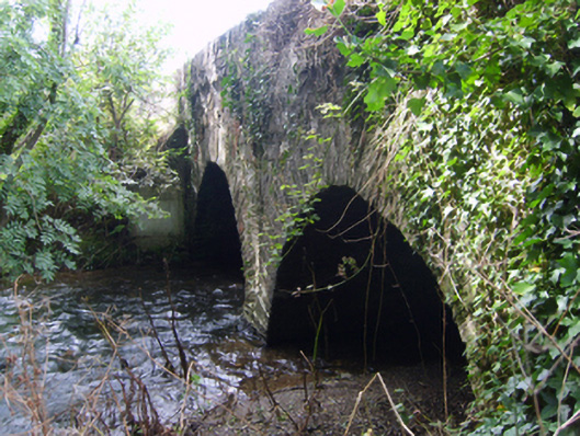 Monart Bridgebridge · 788 yd
 Fulacht fia in Monart EastFulacht fia · 891 yd
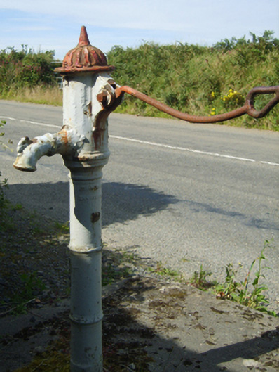 water pumpwater pump · 1148 yd
 Hearth in BessmountHearth · 1178 yd
 Daphney CastleCastle, unclassified · 1.5 mi
 Bernard Dunne Memorial BenchMemorial · 1.8 mi
 Le Tour De France en EnniscorthyMemorial · 1.9 mi
 Battle of Vinegar HillMajor battlefield · 2.1 mi
 National 1798 CentreMuseum · 2.3 mi
 CastleCastle, ringwork · 3.6 mi
 Pedunculate OakPedunculate Oak · 3.7 mi
 European LarchEuropean Larch · 6.6 mi