
What is recorded here
From the National Monuments Service (Archaeological Survey of Ireland) record KD029-023
Places near here
Photo credits
- Maker named on the Wikimedia Commons picture page · Public domain
- Maker not stated on source page, curiousireland.ie
- Maker not stated on source page, readymap.irish
- Maker not stated on source page, carlowtourism.com
- JP, Geograph · CC BY-SA 2.0
- R. A., Wikimedia Commons · Public domain
- Maker not stated on source page, www.irishfamilyhistorycentre.com
- Maker not stated on source page, pastvu.com
- Kmcnamee, Wikimedia Commons · CC BY-SA 4.0
- Maker not stated on source page, www.flickr.com
- Sitomon, Wikimedia Commons · CC BY-SA 2.0
- Maker not stated on source page, www.youtube.com
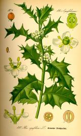 English holly22 yd
Explorer Tom English holly in County Kildare was planted by a guy who ran from his debts. He hid under the branches, but the thorns…
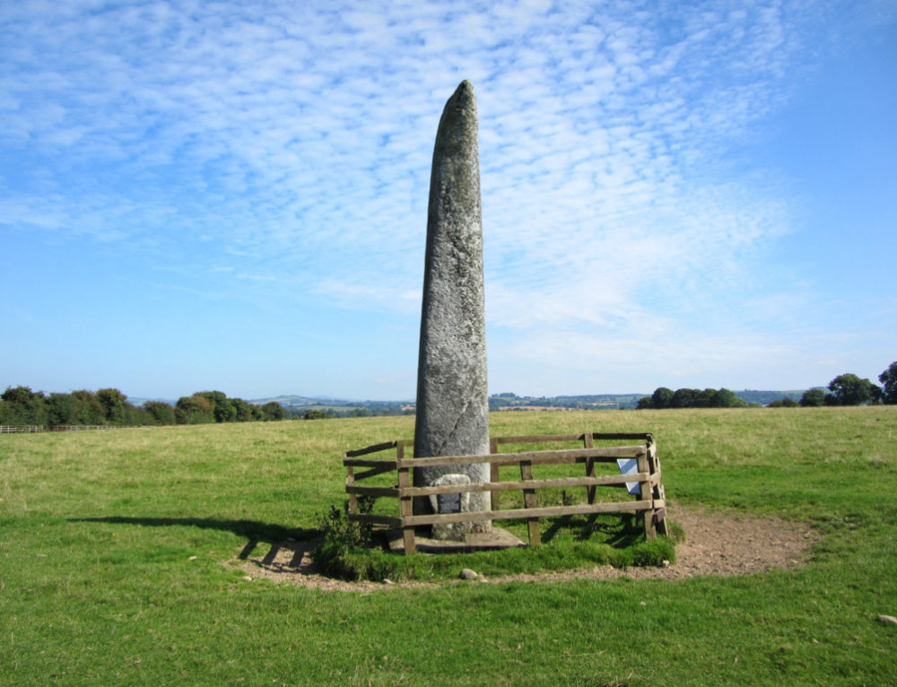 Long StoneStanding stone · 1175 yd
Explorer Tom Long Stone in Broadleas Commons is lying flat because it got fed up with standing all day. It’s proud of its two tiny…
 Mapped graveyardGraveyard · 1452 yd
Explorer Tom This mapped graveyard in Kildare would describe the 1800s to a teenager as basically just slower internet and worse…
 Bullaun stone in Ballybought (gilltown Ed)Bullaun stone · 1.0 mi
Explorer Tom This bullaun stone is known as the wart stone, which sounds like a terrible pub name. It’s been hiding a big scandal…
 Dry BridgeBridge · 1.1 mi
Explorer Tom Dry Bridge in Blakestown is sitting pretty, acting like a celebrity just because its neighbour is a bit more dramatic.…
 Pollaphuca BridgeBridge · 1.2 mi
Explorer Tom Pollaphuca Bridge in Blakestown Lower is being told by the seagulls that it looks like it’s trying to fly but has…
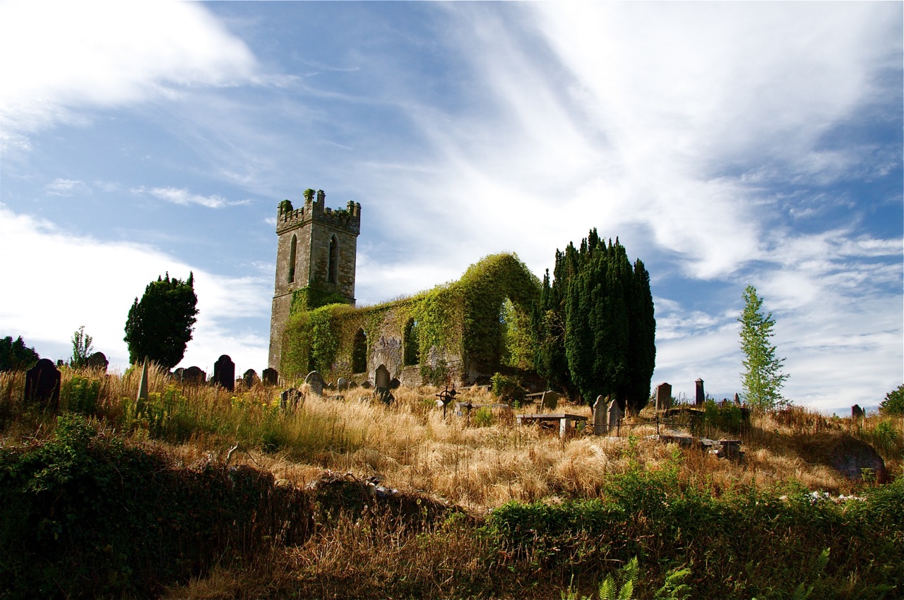 Flat cemetery in BritonstownFlat cemetery · 1.2 mi
Explorer Tom Flat cemetery in Britonstown has been asked so many times if it’s actually flat that it’s now just lying down to prove…
 Poulaphuca WaterfallWaterfall · 1.2 mi
Explorer Tom Poulaphuca Waterfall would bring a big bucket of ice to any party and expect everyone to dance in it until their toes…
 Hollywood GAAGAA ground · 1.4 mi
 CastleCastle, unclassified · 1.5 mi
Explorer Tom Castle in Ardinode East is mentioned in 1486 but nobody knows exactly where it actually stood. It had a tower and a…
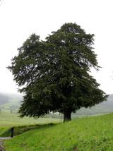 European Yew1.5 mi
Explorer Tom European Yew in County Wicklow would win the county fair by simply standing still while everyone else tries to juggle…
 Castle RockArchaeological place · 1.5 mi
Explorer Tom Castle Rock in County Wicklow is an archaeological place that probably knows more secrets than your bank manager, but…
More archaeology and monuments in County Kildare · All of County Kildare

What do you know about this place?Tap to add a comment or ask a question