What is recorded here
Colbinstown and Killeen Cormac both point to one small stone, not a hidden grand story. The pillar still stands in the burial ground, lichen-bright and fractured at the top. People may have gathered there to mark death, claim land or simply remember a name now lost.
In the S sector of ‘Killeen Cormac’ burial ground (KD032-044----). An earthfast lichen-covered stone (H 1.1m) with a roughly rectangular base (0.6m NW-SE; 0.2m NE-SW) which tapers irregularly to a slightly jagged and fractured top (0.3m NW-SE; 0.15m NE-SW).
Compiled by: Gearóid Conroy
Date of upload: 22 November 2013
Probably dates to the Bronze Age, given its association with a burial ground. Likely used as a funerary or territorial marker, though specific folklore or ritual use is not recorded.
The monument record does not grant public access. Check the route and ask the landowner before entering private land.
- What survives
- Recorded monument
Places near here
 Church in ColbinstownChurch · 13 yd
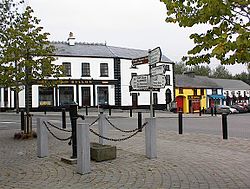 IndicatedFairy fort / earthen ringfort · 448 yd
 Enclosure in RahoonbeakEnclosure · 634 yd
 Colbinstown Castle (in Ruins)Castle, unclassified · 678 yd
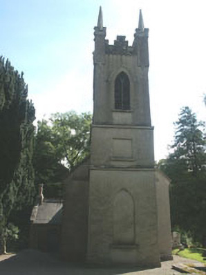 Church of the Ascension (Ballynure)church/chapel · 1659 yd
 Spratstown Fox CovertWood · 1.1 mi
 Grangecon Castle (in ruins)Castle, tower house · 1.5 mi
 Site of Fair GreenForest · 1.7 mi
 Memorial to 1798 rebellionMonument · 3.2 mi
 Ballyhook HillMountain / peak · 3.8 mi
 Battle of Kilrushbattle · 4.8 mi
 Tinoran HillMountain / peak · 4.9 mi