What is recorded here
Adjacent to a road, c. 250m to the SSW of Woburn House. This poorly preserved circular solid limestone
pillar (D c. 1.8m; H 2.6m) is constructed of roughly cut rectangular blocks with a rubble core; the latter is evident at W where a section has been removed. Traces of render are visible. According to the landowner the pillar was originally higher and may have had a conical cap. The upper part is now obscured by ivy. Two small apertures (Wth c. 0.6m) are visible midway up the pillar at E and at SE. Possibly a folly or cenotaph associated with Woburn House.
Compiled by: Galway Archaeological Survey, UCG
Date of upload: 14 December 2019
This remains an important historical record, but the official description says the monument is no longer visible or has been destroyed. The monument record does not grant public access. Check the route and ask the landowner before entering private land.
- What survives
- No visible remains or recorded as destroyed
Places near here
 Wood View Househouse · 331 yd
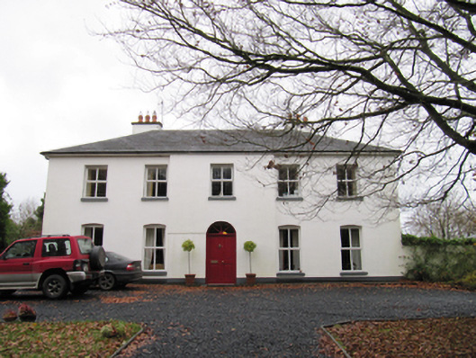 Woodfield Househouse · 1243 yd
 IndicatedFairy fort / earthen ringfort · 1374 yd
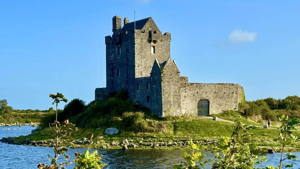 Killenehy FortArchaeological place · 1.1 mi
 Redmond HillMountain / peak · 1.1 mi
 Silver FirSilver Fir · 2.0 mi
 Ballymore CastleCastle, tower house · 2.1 mi
 Lismore CastleCastle, tower house · 2.7 mi
 European ashEuropean ash · 3.0 mi
 Killeen's IslandIsland · 3.7 mi
 MeelickVisitor information · 3.7 mi
 Friars IslandIsland · 3.8 mi