What is recorded here
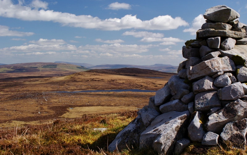
Gubinea and Cullionboy still argue over invisible lines while the small modern pile sits between them. A larger boundary cairn waits 150m to the NNE, but the tiny heap catches the eye first because it is the only thing doing anything on the broad plateau. Stones do not need permission to mark what people forget.
Marked only on the 1910 ed. of the OS 6-inch map where it is described in italic lettering as a ‘Pile of Stones’. It is located on a broad plateau on the unbuilt townlnad boundary between Gubinea to the W and Cullionboy to the E. This is a small, modern pile of stones. The boundary cairn (LE004-021----) is c. 150m to the NNE.
Compiled by: Michael Moore
Date of upload: 4 January, 2016
The monument record does not grant public access. Check the route and ask the landowner before entering private land.
- What survives
- Recorded monument
Places near here
 Aganny TopMountain / peak · 800 yd
 Agow TopMountain / peak · 1.4 mi
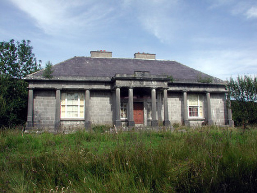 Glenade Housecountry house · 1.7 mi
 Peytons Isd.Enclosure · 1.7 mi
 Altar (Site of)Mass-rock · 1.8 mi
 RC ChapelChurch · 3.5 mi
 Giant's GraveArchaeological place · 3.5 mi
 Longhill WoodForest · 3.6 mi
 Ashisland WoodForest · 3.7 mi
 Kilroosk RockNamed rock · 3.9 mi
 Fowley's FallsPicnic place · 4.0 mi
 InisheherIslet · 4.1 mi