What is recorded here
No visible boundary exists today, yet the coordinates still drop on a bare field. That absence is the feature. The real cairn stands 150m to the SSW; the discarded marker shows how often identity depends on the right anchor.
Marked only on the 1910 ed. of the OS 6-inch map where it is described in italic lettering as a ‘Pile of Stones’. It is located on a broad plateau on the line of the unbuilt townland boundary between Gubinea to the W and Cullionboy to the E. This is a small, modern pile of stones. The boundary cairn (LE004-022----) is c. 150m to the SSW.
Compiled by: Michael Moore
Date of upload: 4 January, 2016
The monument record does not grant public access. Check the route and ask the landowner before entering private land.
- What survives
- Recorded monument
Places near here
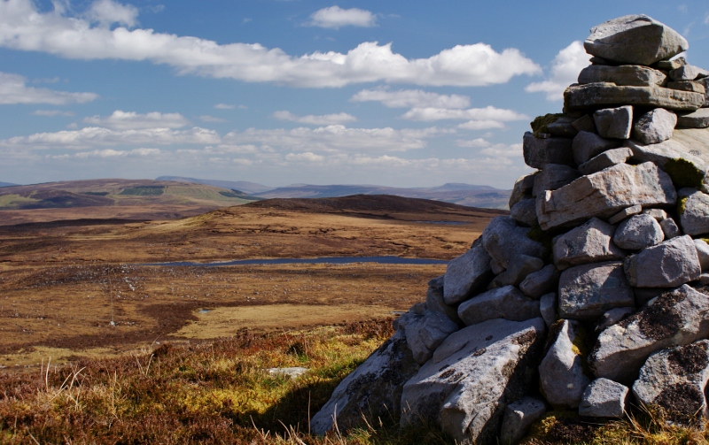 Aganny TopMountain / peak · 682 yd
 Agow TopMountain / peak · 1.4 mi
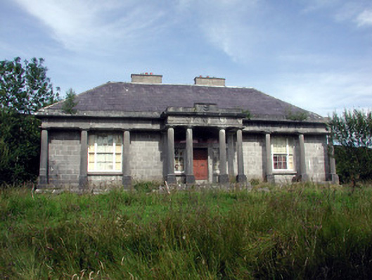 Glenade Housecountry house · 1.8 mi
 Peytons Isd.Enclosure · 1.8 mi
 Altar (Site of)Mass-rock · 1.9 mi
 Giant's GraveArchaeological place · 3.4 mi
 Church in Drummans (rosclogher By., Aghanlish Ed)Church · 3.5 mi
 Longhill WoodForest · 3.7 mi
 Ashisland WoodForest · 3.7 mi
 Kilroosk RockNamed rock · 4.0 mi
 Fowley's FallsPicnic place · 4.0 mi
 InisheherIslet · 4.1 mi