What is recorded here
A single boulder, two metres long and a metre high, still blocks the seam between Aghavoghil and Gubinea on a broad Leitrim plateau. It appeared only on the 1910 survey map, labelled “Pile of Stones,” while a formal boundary cairn stood forty metres east. Perhaps people dropped stones onto that boulder whenever they crossed from one townland into the other, making ownership visible through repeated small labour rather than a written claim.
Marked only on the 1910 ed. of the OS 6-inch map where it is described in italic lettering as a ‘Pile of Stones’. It is located on a SE-facing slope of a broad plateau on the unbuilt townland boundary between Aghavoghil to the N and Gubinea to the S. This appears to be a boulder (dims c. 2m x c. 1m; H c. 1m) with some loose stones on top of it. The boundary cairn (LE004-016001-) is c. 40m to the E.
Compiled by: Michael Moore
Date of upload: 4 January, 2106
The monument record does not grant public access. Check the route and ask the landowner before entering private land.
- What survives
- Recorded monument
Places near here
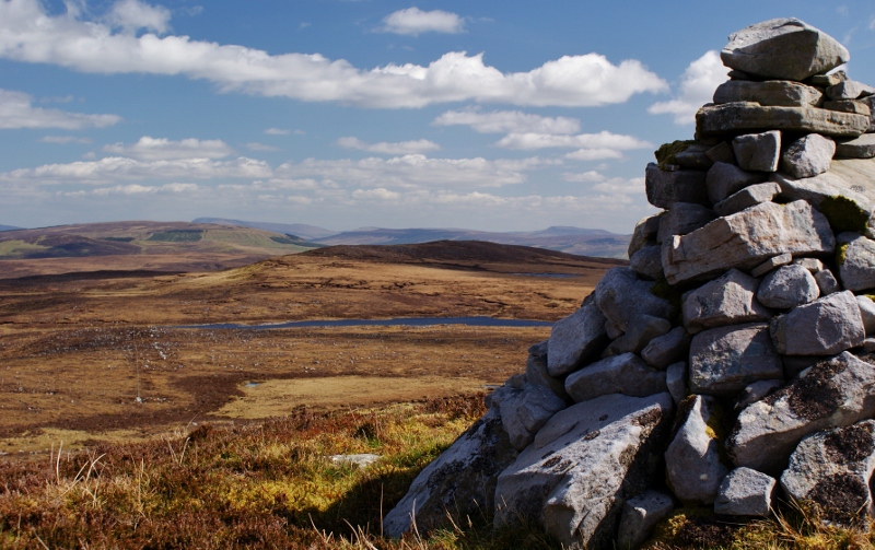 Aganny TopMountain / peak · 359 yd
 Agow TopMountain / peak · 1.5 mi
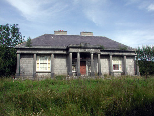 Glenade Housecountry house · 1.9 mi
 Peytons Isd.Enclosure · 2.0 mi
 Altar (Site of)Mass-rock · 2.1 mi
 Giant's GraveArchaeological place · 3.2 mi
 Church in Drummans (rosclogher By., Aghanlish Ed)Church · 3.4 mi
 InisheherIslet · 3.9 mi
 Longhill WoodForest · 3.9 mi
 InishtempleIslet · 3.9 mi
 Ashisland WoodForest · 4.0 mi
 Fowley's FallsPicnic place · 4.0 mi