What is recorded here
In semi-wooded scrubland, set into a north-facing slope. The exposed upper surface and north, west and east sides of a large boulder (4.40m E-W, 3.60m N-S; height 0.80m) feature markings including striations and a large number of hollows, which are likely glacial features. According to local folklore, the boulder was a focus for popular devotion in the early 20th century, and the striations are thought to represent whipcracks and the hollows footprints of bloodhounds linked to the pursuit of a cleric from Macloneigh Church (CO071-082002-) who was subsequently killed below a mass rock a short distance to the north.
Compiled by: Dr Bernadette McCarthy
Date of upload/revision: 21 July 2023
The monument record does not grant public access. Check the route and ask the landowner before entering private land.
- What survives
- Recorded monument
Places near here
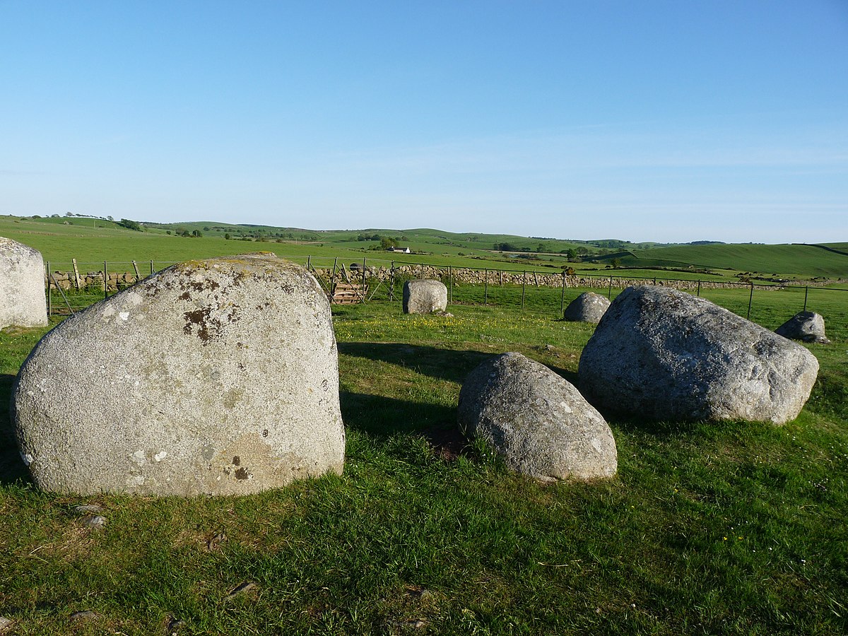 BarrowBarrow, ring-barrow · 1561 yd
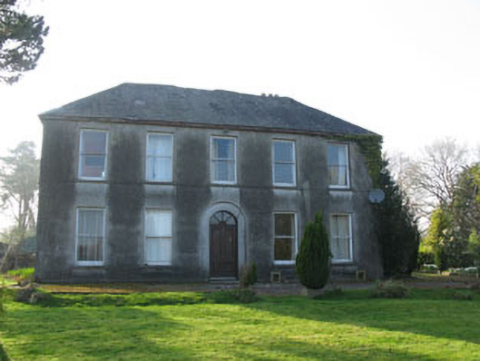 Lee Viewhouse · 1.1 mi
 Coolcour Housecountry house · 1.1 mi
 Grave YardGraveyard · 1.1 mi
 Sessile OakSessile Oak · 1.4 mi
 Castle (Site of)Castle, unclassified · 1.4 mi
 Mashanaglass Castle (in Ruins)Castle, tower house · 1.9 mi
 The Gearagh Nature ReserveNature reserve · 2.0 mi
 Battle of Macroombattle · 2.1 mi
 Macroom WalksVisitor information · 2.3 mi
 Priest MemorialMemorial · 3.3 mi
 Kilmurry WoodsPicnic place · 3.4 mi