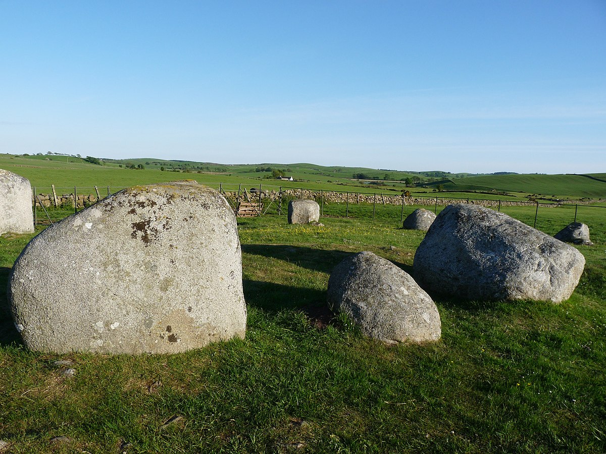
What is recorded here
In flat arable land, surrounded by hills. Circular area (15.45m NW-SE; 14.5m NE-SW) enclosed by earthen bank (H 0.8m). Shallow fosse inside bank defined by slight rise towards centre. Gap (Wth 4.2m) in bank to WSW. Stone 1m x 0.8m lying near centre of interior.
The above description is derived from the published 'Archaeological Inventory of County Cork. Volume 3: Mid Cork' (Dublin: Stationery Office, 1997). In certain instances the entries have been revised and updated in the light of recent research.
Date of upload/revision: 14 January 2009
A Neolithic or Bronze Age ring barrow, likely a burial monument. Its earth and fosse construction reflects early funerary practices in lowland Britain.
The monument record does not grant public access. Check the route and ask the landowner before entering private land.
- What survives
- Recorded monument
Places near here
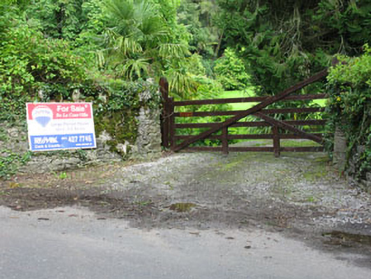 De Lacour Housecountry house · 1539 yd
 Castle (Site of)Castle, unclassified · 1544 yd
 Fairy fort / earthen ringfort in MountmusicFairy fort / earthen ringfort · 1.0 mi
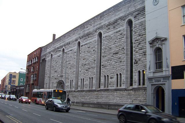 Dunisky Church (Site of)Church · 1.1 mi
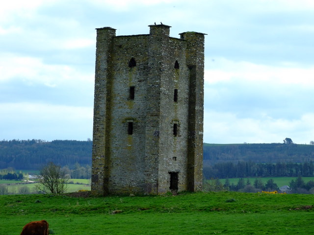 Beamish's Towerfolly · 1.1 mi
 Summerhouse WoodForest · 1.6 mi
 Stephen's WoodForest · 2.0 mi
 Mashanaglass Castle (in Ruins)Castle, tower house · 2.2 mi
 Priest MemorialMemorial · 2.7 mi
 Kilmurry WoodsPicnic place · 2.8 mi
 Battle of Macroombattle · 3.0 mi
 Independence MuseumMuseum · 3.1 mi
Other information
Photo: Credit not shown in the picture search · Rights wording not checked; contact us if this picture should be removed