What is recorded here
In pasture on the Burren plateau, at the S base of a low E–W ridge, within a multiperiod field system (CL009-001001-). Listed as ‘Fulacht fia (possible)’ in the RMP (1996). Noted on Robinson’s map (1977) as an ‘arched stone for headache cure.’ It consists of a flat-topped grass-covered cairn (diam. 2.8m; H 0.4m). At…
Read the whole record
From the National Monuments Service (Archaeological Survey of Ireland) record CL009-006002
Places near here
Photo credits
- Maker not stated on source page, en.m.wikipedia.org
- Maker not stated on source page, storage.googleapis.com
- Maker not stated on source page, www.irelandhighlights.com
- Maker not stated on source page, za.pinterest.com
- Maker not stated on source page, en.wikipedia.org
- Maker not stated on source page, www.letsgoireland.com
- Maker not stated on source page, tr.pinterest.com
- National Inventory of Architectural Heritage
- Roger Diel, Geograph · CC BY-SA 2.0
 Enclosure in Ballyconnoe NorthEnclosure · 465 yd
Explorer Tom Enclosure in Ballyconnoe North has a secret talent for disappearing into the grass whenever the sun hits it at exactly…
 Fairy fort / stone ringfort in Ballyconnoe NorthFairy fort / stone ringfort · 682 yd
Explorer Tom Ballyconnoe fairy fort would win a county fair for 'Most Likely to Be Boring'. It's subrectangular, which means it…
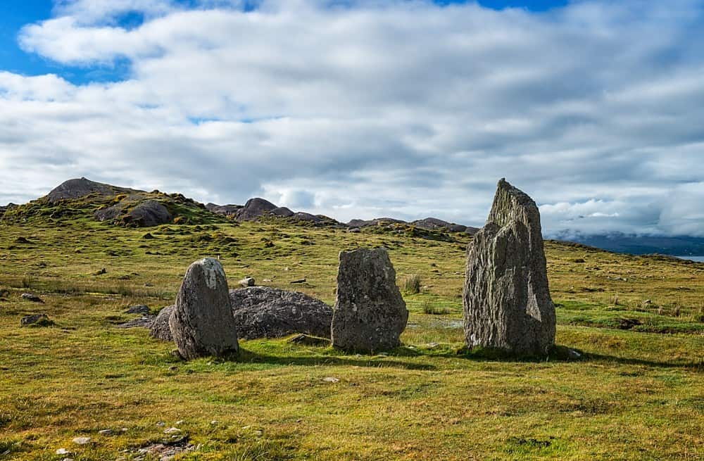 Cursing stone in KilleanyCursing stone · 1029 yd
Explorer Tom Cursing stone in Killeany is hiding under some sods like it’s embarrassed about its job. Twenty-eight stones used to be…
 Killeany ChurchRuins · 1061 yd
Explorer Tom Killeany Church thinks the road leading to it is too noisy and rude, so it just turns its back on it. The stones are…
Fairy fort / stone ringfort in Ballyconnoe SouthFairy fort / stone ringfort · 1433 ydExplorer Tom Fairy fort / stone ringfort in Ballyconnoe South blames the wind for collapsing so much because it thinks the breeze is…
 Fairy fort / stone ringfort in Cragreagh, CahercloggaunFairy fort / stone ringfort · 1442 yd
Explorer Tom Fairy fort / stone ringfort in Cragreagh, Cahercloggaun is subcircular and having a moment. The townland boundary hugs…
Fairy fort / stone ringfort in Ballyhenna,cahercloggaunFairy fort / stone ringfort · 1513 ydExplorer Tom Fairy fort / stone ringfort in Ballyhenna, Cahercloggaun has a collapsed wall overlain by a later field wall. It would…
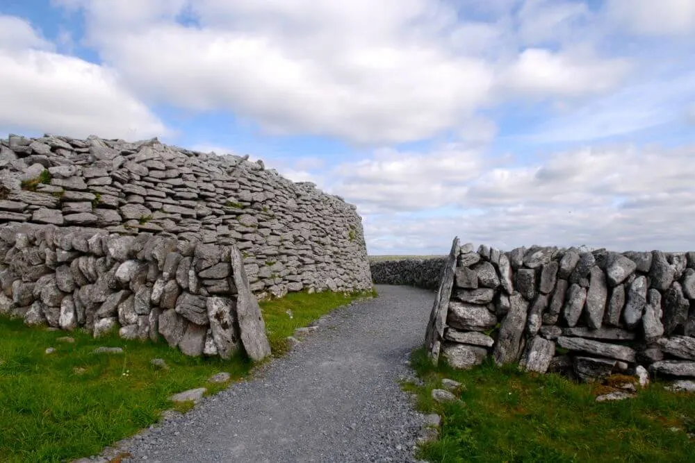 Fairy fort / stone ringfort in Ballyconnoe North,cullaun (burren By.)Fairy fort / stone ringfort · 1532 yd
Explorer Tom Fairy fort / stone ringfort in Ballyconnoe North, Cullaun would cope on a reality show by refusing to move and letting…
Fairy fort / stone ringfort in BallyhennaFairy fort / stone ringfort · 1560 ydExplorer Tom Ballyhenna's stone ringfort sits right in the middle of two families who still argue over who owns the sunset view.…
 Standing stone in BallygastellStanding stone · 1.1 mi
Explorer Tom Standing stone in Ballygastell was supposed to predict the weather in a prophecy that never came true, so now it just…
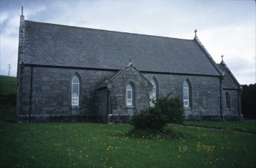 Catholic Church of Our Lady of LourdesChurch/chapel · 1.1 mi
Explorer Tom Catholic Church of Our Lady of Lourdes in Kilmoon West is having a bit of a moment with its limestone, isn’t it? If it…
 Site of Lisdoonvarna CastleCastle, tower house · 1.5 mi
Explorer Tom Site of Lisdoonvarna Castle would be a total disaster on a reality show, probably losing its footing in episode one.…
More historic places in County Clare · All of County Clare

What do you know about this place?Tap to add a comment or ask a question