What is recorded here
A holy well (DG080-002001-) (Ó Muirgheasa, No. 30) dedicated to St. Columbkille is surrounded by a penitential cairn (DG080-002002-) 30.8m N-S × 7.8m E-W and 1.4m high. Standing on top of this cairn is a cross-shaped slab (DG080-002003-), .93m high × 0.2m wide (arms .3m) and 0.05m to .1m in thickness. On the NW face and lower part of the shaft beneath the arms is an incised geometric bar decoration. The site is located on rough pasture in mountainous terrain half way up the N slope of Glencolumbkille valley.
The above description was derived from the 'Archaeological Survey of County Donegal. A description of the field antiquities of the County from the Mesolithic Period to the 17th century.' Compiled by: Brian Lacey with Eamon Cody, Claire Cotter, Judy Cuppage, Noel Dunne, Vincent Hurley, Celie O'Rahilly, Paul Walsh and Seán Ó Nualláin (Lifford: Donegal County Council, 1983). In certain instances the entries have been revised and updated.
Date of upload: 22 September 2008
The site is associated with St. Columbkille (Columba), a key figure in the spread of Christianity in Ireland and Scotland, and is linked to penitential practices common in early Christian pilgrimage traditions. The cairn and cross-shaped stone suggest a place of prayer and atonement, reflecting the broader monastic influence attributed to the saint.
The monument record does not grant public access. Check the route and ask the landowner before entering private land.
- What survives
- Recorded monument
Places near here
 St. Columbkilles WellHoly well · 4 yd
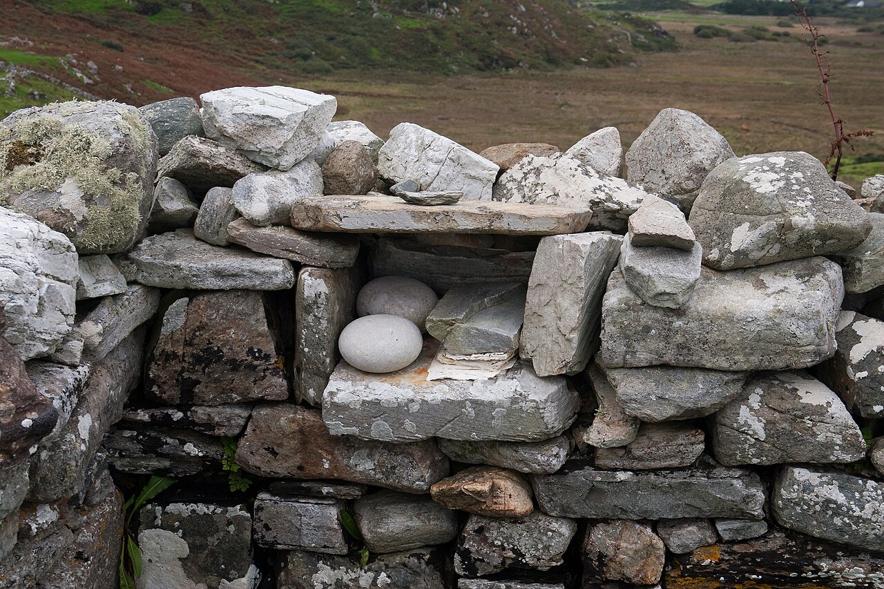 Turas Cholmcille Station 5 EnclosureEcclesiastical enclosure · 323 yd
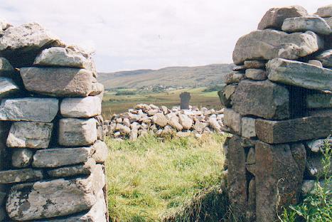 St Columba's CellPenitential station · 668 yd
 Glen Signal Towerwatch tower, signal tower · 1087 yd
 Trá an GhleannaBeach / strand · 1249 yd
 Glencolmcille Old GraveyardGraveyard · 1663 yd
 Glencolmcille Folk VillageMuseum · 1667 yd
 An Trá Bheag (Trá Bheag an Ghleanna)Beach / strand · 1677 yd
 Rossan PointHeadland · 2.5 mi
 An Tor MórIslet · 3.5 mi
 Silver Strand ViewpointViewpoint · 4.2 mi
 Slieve LeagueMountain / peak · 4.9 mi