Places near here
Photo credits
- National Inventory of Architectural Heritage
- Kmcnamee, Wikimedia Commons · CC BY-SA 4.0
- Oliver Dixon, Wikimedia Commons · CC BY-SA 2.0
- Rev William Falkiner (Life time: d 1910), Wikimedia Commons · Public domain
- Mike Searle, Geograph · CC BY-SA 2.0
- Malene Thyssen, Wikimedia Commons · CC BY-SA 3.0
- Algirdas at Lithuanian Wikipedia, Wikimedia Commons · Public domain
- kevin higgins, Geograph · CC BY-SA 2.0
Explorer Tom Hut site in Ballynakill has been hiding a scandal about its own foundation for centuries, probably because it knows…
Partially hachuredFairy fort / earthen ringfort · 1244 ydExplorer Tom Ringfort in Ballinphort is nearly destroyed because a hero nobody remembers saved it by being too lazy to finish…
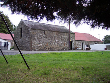 GreenviewOutbuilding · 1279 yd
Explorer Tom Greenview outbuildings in Multyfarnham are an early nineteenth-century courtyard complex that would order chips and…
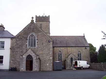 The AbbeyAbbey · 1353 yd
Explorer Tom The Abbey in Multyfarnham is listening to every whisper through its walls, which explains why it’s so quiet now. It’s…
 Multyfarnham GAA pitchGAA ground · 1433 yd
 Children of Lir: Lough DerravaraghLegend location · 1.2 mi
Explorer Tom Children of Lir: Lough Derravaragh starts with four children becoming swans because Aoife could not bear sharing the…
 Mortimer's CastleArchaeological place · 1.7 mi
Explorer Tom Mortimer’s Castle in County Westmeath is locked in a bitter feud with the rain, insisting it looks majestic even when…
 Carrick CastleCastle · 3.0 mi
Explorer Tom Carrick Castle is haunted by the memory of a fiddler who played all night until his fingers gave up, leaving behind…
 European Beech4.0 mi
Explorer Tom European Beech in County Westmeath claims to hear everything through its walls, including your embarrassing phone calls…
Castlepollard GAAGAA ground · 4.2 mi Pedunculate Oak4.2 mi
Explorer Tom Pedunculate Oak in County Westmeath witnessed a love story that went badly wrong when one party dropped their ring into…
 Church IslandIsland · 4.5 mi
Explorer Tom Church Island in County Westmeath would tell a teenager that the 1800s were basically just slow Wi-Fi and worse…
More archaeology and monuments in County Westmeath · All of County Westmeath

What do you know about this place?Tap to add a comment or ask a question