
What is recorded here
Situated on a low ridge which runs NW-SE, in hilly gently undulating pasture-land. Ringfort (WM007-041----) 275m to SE. A low sub-rectangular shaped raised area or mound in the centre of a ringfort (WM007-040----) may represent the remains of a hut or house site.
Compiled by: Frank Coyne and Caimin O'Brien
Date of upload: 13 April 2017
The monument record does not grant public access. Check the route and ask the landowner before entering private land.
- What survives
- Recorded monument
Places near here
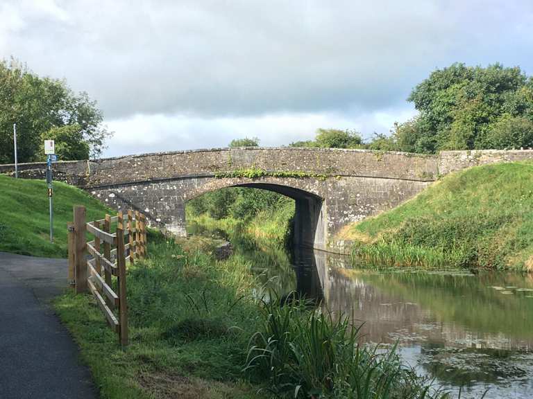 Partially hachuredFairy fort / earthen ringfort · 345 yd
 IndicatedFairy fort / ringfort · 796 yd
 Donore Ho.House, 17th century · 1584 yd
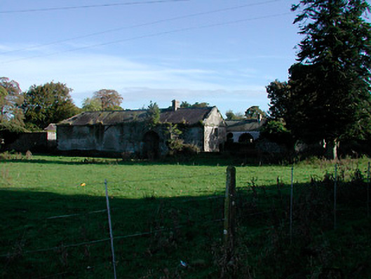 Donore Housefarmyard complex · 1614 yd
 Mortimer's CastleArchaeological place · 1.1 mi
 Bridge Memorial (Kenna)Memorial · 1.4 mi
 CastleCastle, tower house · 1.9 mi
 European BeechEuropean Beech · 3.4 mi
 Pedunculate OakPedunculate Oak · 3.7 mi
 Church IslandIsland · 4.9 mi
 Seafin HillMountain / peak · 8.8 mi
 Slieve GullionMountain / peak · 11 mi
Other information
Photo: Credit not shown in the picture search · Rights wording not checked; contact us if this picture should be removed