What is recorded here
Situated on the N face of a high hill with wide views from W-N-E. Ringfort (WM007-067---) 250m to SW. A sub-circular-shaped area enclosed by a well preserved earth and stone bank (H 1m), a wide fosse and a poorly preserved outer bank. There is an entrance gap at N. The interior slopes towards the centre, and contains mature oak and chestnut trees as well as several tree stumps.
Compiled by: Frank Coyne and Caimin O'Brien
Date of upload: 14 April 2017
The monument record does not grant public access. Check the route and ask the landowner before entering private land.
- What survives
- Recorded monument
Places near here
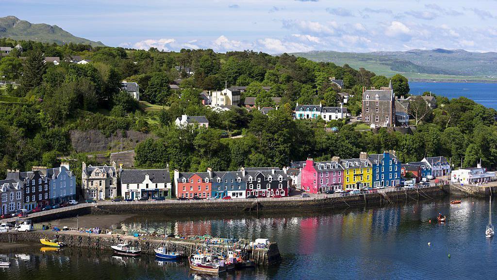 Partially outlinedFairy fort / ringfort · 328 yd
 Hut site in Ballynakill (corkaree By.)Hut site · 733 yd
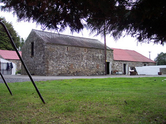 Greenviewoutbuilding · 1592 yd
 Donore Ho.House, 17th century · 1597 yd
 Bridge Memorial (Kenna)Memorial · 1.0 mi
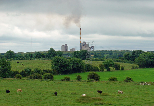 Partially indicatedCastle, motte · 1.1 mi
 Mortimer's CastleArchaeological place · 1.5 mi
 European BeechEuropean Beech · 3.8 mi
 Scragh Bog Nature ReserveNature reserve · 3.9 mi
 Church IslandIsland · 4.6 mi
 Carrickphilbin IslandIslet · 5.0 mi
 Seafin HillMountain / peak · 9.2 mi