
What is recorded here
From the National Monuments Service (Archaeological Survey of Ireland) record WM012-201
Places near here
Photo credits
- National Inventory of Architectural Heritage
- Photographer not named, clonkillgaa.ie
- Maker not stated on source page, www.dreamstime.com
- Maker not stated on source page, theirishaesthete.com
- Maker not stated on source page, tr.pinterest.com
- Maker not stated on source page, www.pinterest.ru
- Maker not stated on source page, commons.wikimedia.org
- Maker not stated on source page, www.myhighlands.de
- Maker not stated on source page, in.pinterest.com
- Eric Jones, Geograph · Creative Commons Attribution-ShareAlike 2.0
- Maker not stated on source page, www.pinterest.com
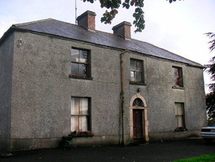 Newgrove HouseFarm house · 481 yd
Explorer Tom Newgrove House in Loughagar More is derelict but still acting like it's hosting a very exclusive garden party that…
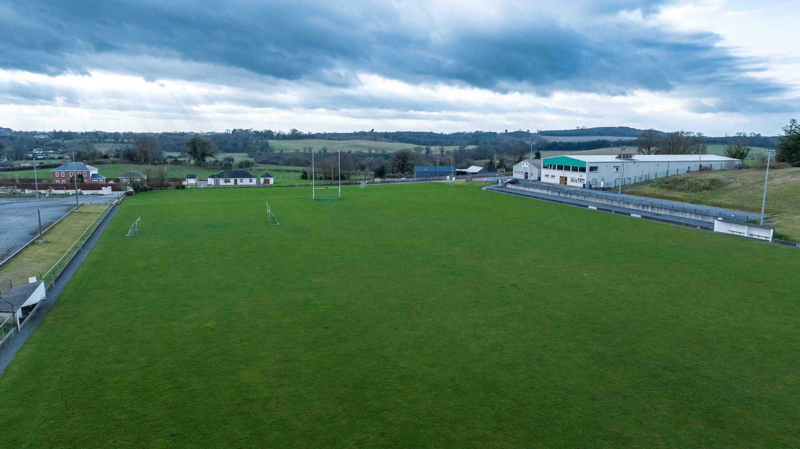 Clonkill GAA pitchGAA ground · 1665 yd
 Fairy fort / ringfort in BalreaghFairy fort / ringfort · 1.1 mi
Explorer Tom Fairy fort / ringfort in Balreagh is invisible, so imagine a poet tripped over nothing and wrote a sonnet about the…
Fairy fort / ringfort in ClonkillFairy fort / ringfort · 1.2 miExplorer Tom Fairy fort / ringfort in Clonkill would complain to the council about how marshy the ground is under its feet. It’s a…
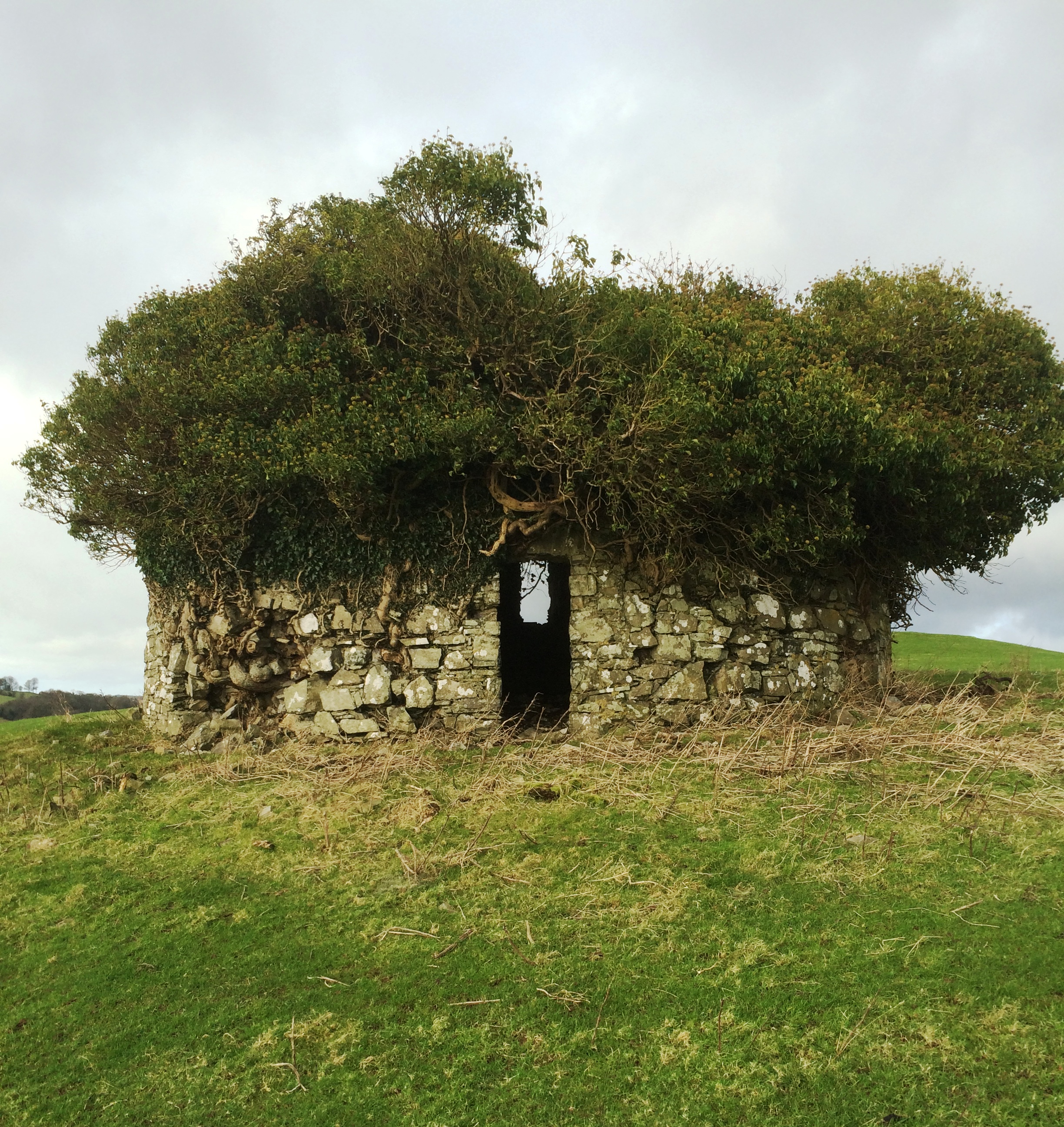 Fairy fort / earthen ringfort in BalreaghFairy fort / earthen ringfort · 1.4 mi
Explorer Tom Fairy fort / earthen ringfort in Balreagh is levelled, which means it’s finally relaxed and stopped trying to be fancy.…
 Church (Site of)Church · 1.5 mi
Explorer Tom Church in Toberaquill has an imaginary fan club that meets every Tuesday to sing hymns no one remembers. It’s sitting…
 Toberallen GraveyardGraveyard · 1.5 mi
Explorer Tom Toberallen Graveyard thinks the local sheep have more sense than most visitors because they always know exactly where…
 Earthwork in MonkstownEarthwork · 1.5 mi
Explorer Tom Earthwork in Monkstown would say it has excellent leadership skills and a solid track record in job interviews. It’s…
 Fairy fort / earthen ringfort in Knockdrin (moyashel & Magheradernon By.)Fairy fort / earthen ringfort · 1.8 mi
Explorer Tom Fairy fort / earthen ringfort in Knockdrin claims to be older than the concept of time itself, which is probably true…
 Rathconnell GraveyardGraveyard · 2.3 mi
Explorer Tom Rathconnell Graveyard in County Westmeath holds a fake world record for the most crooked gravestone ever found, which…
 Saint Joseph's Catholic ChurchChurch/chapel · 2.5 mi
Explorer Tom Saint Joseph’s Church in Tevrin has had so many names that it gave up trying to remember them all and just settled on…
 CastleCastle, unclassified · 4.5 mi
Explorer Tom Dardistown Castle is basically a ghost with no address, wandering around looking for a job interview where nobody…
More archaeology and monuments in County Westmeath · All of County Westmeath

What do you know about this place?Tap to add a comment or ask a question