
What is recorded here
Univallate. Subcircular area on hilltop (max. dims. c. 101m N-S; 112m E-W) enclosed by traces of rubble rampart with stone facing. Stone-faced entrance gap at WSW (Wth 3.1m). (Carloviana 1986, 9)
The hillfort was recently described in the Atlas of Hillforts of Britain and Ireland as following; 'Contour fort surrounding domed summit of hilltop which forms the NW spur of Blackstairs Mountains. The site overlooks a number of different small river systems at the base of the hill. Panoramic views from the summit. Sub-circular contour fort with a total site footprint of approximately 1ha surrounding the summit of hilltop in the NW of the Blackstairs Mountains and overlooking a number of different small river systems at the base of the hill. Univallate for the entire circuit with a simple stone lined entrance break to the S. No evidence for any internal features on the surface. Rampart survives well at the E. At the N section of the hillfort, the stones forming the bank have been used to form a field boundary which follows the course of the enclosing elements. The interior of the site is under dense scrub. First map depiction in second edition Ordnance Survey mapping. A field boundary runs E-W through the centre of the hillfort and forms the townland boundary between Killoughterane and Knockscur' (http://hillforts.arch.ox.ac.uk/records/IR0936.html).
Compiled by: Anna Brindley and Annaba Kilfeather
Revised by: Jean Farrelly
Date of revised upload: 4 February 2020
A local fairy fort (ringfort/rath); wider significance not recorded.
The monument record does not grant public access. Check the route and ask the landowner before entering private land.
- What survives
- Recorded monument
Places near here
 Enclosure in Knocksquire OR KnockscurEnclosure · 392 yd
 Font in KilloughternaneFont · 800 yd
 White Chapel (in ruins)Church · 805 yd
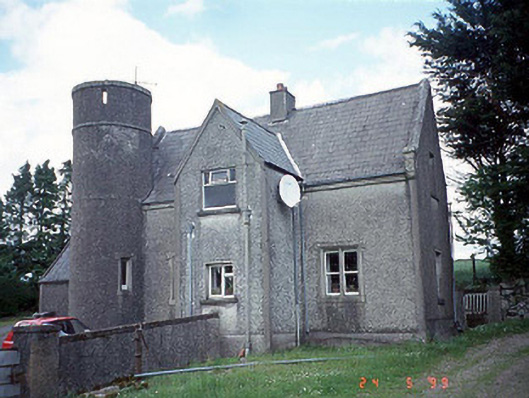 worker's houseworker's house · 1693 yd
 SlievebawnMountain / peak · 2.1 mi
 Rathnageeragh Castle (in ruins)Castle, unclassified · 2.4 mi
 Irish Hangliding and Paragliding AssociationMemorial · 3.3 mi
 Mount LeinsterMountain · 3.4 mi
 Coonogue WoodForest · 3.4 mi
 Sessile OakSessile Oak · 3.5 mi
 CastleCastle, unclassified · 3.5 mi
 KnockroeMountain / peak · 3.7 mi
Other information
Photo: Credit not shown in the picture search · Rights wording not checked; contact us if this picture should be removed