What is recorded here
In pasture 320m W of Green Mount House. Depicted on the 1840 0S 6-inch map as a partial curve in the field boundary which may indicate the location of an enclosure. This curving field boundary is not depicted on the 1897 OS 25-inch map. Located with an X on the OS map by Celie O’Rahilly, archaeologist, Limerick Corporation in advance of the development of Limerick Racecourse. Faint cropmark of possible enclosure visible on Google Earth orthoimage taken 02/07/2018. Faint outline of enclosure visible on Digital Globe orthoimage taken 2011-13. See attached Google Earth orthoimages
Compiled by: Martin Fitzpatrick
Date upload: 24 June 2020
In pasture 320m W of Green Mount House. Depicted on the 1840 0S 6-inch map as a partial curve in the field boundary which may indicate the location of an enclosure. This curving field boundary is not depicted on the 1897 OS 25-inch map. Located with an X on the OS map by Celie O’Rahilly, archaeologist, Limerick Corporation in advance of the development of Limerick Racecourse. Faint cropmark of possible enclosure…
From the National Monuments Service (Archaeological Survey of Ireland) record LI012-129
The monument record does not grant public access. Check the route and ask the landowner before entering private land.
- What survives
- Recorded monument
Places near here
Photo credits
- National Inventory of Architectural Heritage
- Mike Searle, Wikimedia Commons · CC BY-SA 2.0
- Stevesphotography, Wikimedia Commons · CC BY-SA 4.0
- Jon Sullivan, Wikimedia Commons · Public domain
- Dieglop, Wikimedia Commons · CC BY-SA 4.0
- Joseph Mischyshyn, Geograph · Creative Commons Attribution-ShareAlike 2.0
- Miguel Angel Masegosa Martínez, Wikimedia Commons · CC BY 2.0
- Colin Park, Geograph · CC BY-SA 2.0
- Greg and Cindy, Wikimedia Commons · CC BY 2.0
- Dylan Moore, Geograph · CC BY-SA 2.0
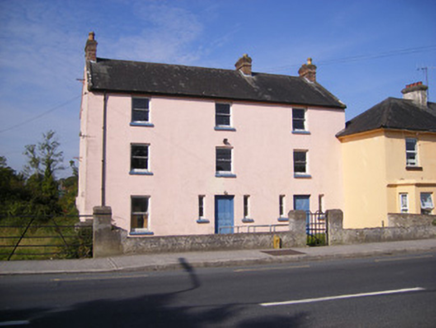 Ric barracks541 yd
 Fort EtnaCountry house · 804 yd
 Duane VillePresbytery/parochial/curate's house · 940 yd
_-_geograph.org.uk_-_6276354.jpg/250px-Castles_of_Munster,_Fanningstown,_Limerick_(1)_-_geograph.org.uk_-_6276354.jpg "Photo: Mike Searle, Wikimedia Commons · CC BY-SA 2.0") Fanningstown Castle (in ruins)Castle, tower house · 3.8 mi
Fanningstown Castle (in ruins)Castle, tower house · 3.8 mi Carrigogunnell CastleRuins · 3.8 mi
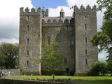 Bunratty CastleCastle · 8.3 mi
 Bunratty CastleHouse · 8.3 mi
 Graveyard8.4 mi
 Sweet Chestnut8.7 mi
 KnockfeerinaMountain / peak · 9.6 mi
 Pan Am Flight 1-10Aviation accident · 12 mi
 KnockainyMountain / peak · 12 mi
More archaeology and monuments in County Limerick · All of County Limerick
What do you know about this place?