
What is recorded here
This record was formerly classed as an 'enclosure' in both the SMR (1990) and the RMP (1997). According to the field inspection report, it is a 'ring [c. 6m] of loose rough stone with a dip in the centre', possibly non-archaeological (SMR file). It is shown as a circle on the first edition OS 6-inch map where it is abutted by four field boundaries. Though the field boundaries have been removed, the enclosure is still extant. Because of the uncertainty in relation to the nature and classification of this monument, its class has been changed to 'enclosure possible'.
A local fairy fort (ringfort/rath); wider significance not recorded.
The monument record does not grant public access. Check the route and ask the landowner before entering private land.
- What survives
- Recorded monument
Places near here
 Enclosure in Annagh (trughanacmy By., Blennerville Ed)Enclosure · 677 yd
 Annagh Church (in ruins)Church · 737 yd
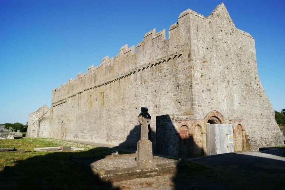 Tonakilla Fort, HachuredFairy fort / stone ringfort · 926 yd
 View of WindmillHeritage attraction · 1049 yd
 Blennerville WindmillHeritage attraction · 1171 yd
 mill (wind)mill (wind) · 1172 yd
 Tralee Bay Wetlands Eco and Activity ParkNature reserve · 1.7 mi
 Sonny McCarthy MemorialMonument · 2.1 mi
 Pádraig Mac PiaraisMemorial · 2.1 mi
 Castle MacallistrumCastle, unclassified · 2.2 mi
 CastleCastle, unclassified · 2.2 mi
 Knockmichael MountainMountain / peak · 2.3 mi
Other information
Photo: Credit not shown in the picture search · Rights wording not checked; contact us if this picture should be removed