What is recorded here
Ballintogher Castle (WM024-031----) stands in W quadrant of bawn on flat poorly drained land with good views in all directions. Croughal church (WM025-005001-) and graveyard (WM025-005006-) lies 500m to SE. Annotated as ‘Boleyvillish Castle in ruins’, on the 1838 ed. O 6-inch map where the castle is shown standing…
Read the whole record
From the National Monuments Service (Archaeological Survey of Ireland) record WM024-031001
Places near here
Photo credits
- Maker not stated on source page, www.vladi-private-islands.de
- Maker not stated on source page, commons.wikimedia.org
- Maker not stated on source page, en.wikipedia.org
- National Inventory of Architectural Heritage
- Abi Skipp, Wikimedia Commons · CC BY 2.0
- Maker not stated on source page, www.whytes.ie
- Maker not stated on source page, irisharchaeology.org
- Willow, Wikimedia Commons · CC BY 2.5
 Boleyvillish Castle in ruinsCastle, tower house · 31 yd
Explorer Tom Boleyvillish Castle has an imaginary fan club that meets every Tuesday to argue about whether it was ever actually…
 Graveyard in CroughalGraveyard · 547 yd
Explorer Tom Graveyard in Croughal, County Westmeath would survive a zombie attack simply by letting them trip over its own walls…
 CastleCastle, motte · 731 yd
Explorer Tom Castle in Ballynacarrow would review its visitors with one star: 'Too noisy, not enough mud appreciation.' It's right…
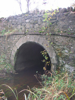 Corr BridgeBridge · 916 yd
Explorer Tom Corr Bridge near Togherstown is stuck in a massive feud over who owns the best view, with two families refusing to…
 Togherstown HouseHouse · 1337 yd
Explorer Tom Togherstown House is feuding with the next village over something daft, probably about who has the best porch or the…
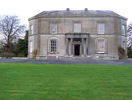 Glencara HouseCountry house · 1720 yd
Explorer Tom Glencara House in Corr is a neoclassical essay that would survive a zombie attack by locking its elegant doors first.…
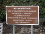 Hill of UisneachMountain / peak · 1743 yd
Explorer Tom Hill of Uisneach hosted a fake royal visit where the king was actually just a farmer in a hat. It’s the centre of…
 Stone head in GneevestownStone head · 1.0 mi
Explorer Tom Stone head in Gneevestown is stuck in a barn wall like a weird art installation. Someone paid big time for this frowny…
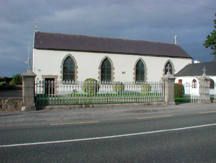 Catholic Church of the AssumptionChurch/chapel · 1.0 mi
Explorer Tom Catholic Church of the Assumption in Togherstown is a simple hall-type church that probably glares at anyone who leans…
 Loughnavalley CemeteryCemetery · 1.1 mi
Explorer Tom Loughnavalley Cemetery in County Westmeath is hiding a treasure that is definitely just an old biscuit tin full of…
 Fairy fort / earthen ringfort in Corr (rathconrath By.)Fairy fort / earthen ringfort · 1.1 mi
Explorer Tom Fairy fort / earthen ringfort in Corr would file a complaint with the council about the lack of parking for ancient…
 European ash1.9 mi
Explorer Tom European ash in County Westmeath has developed a serious suspicion of the postman after seeing him deliver a letter to…
More castles and forts in County Westmeath · All of County Westmeath

What do you know about this place?Tap to add a comment or ask a question