What is recorded here
Situated on the SE end of a small ridge, in undulating pasture with very good views in all directions. Depicted as a substantial circular-shaped earthwork on the 1837 ed. OS 6-inch map. Depicted on the revised 1913 ed. OS 25-inch map as a roughly circular-shaped earthwork partially covered by a planted area at NW and having a fosse from NE-ESE.
Described in 1980 as a large, roughly circular-shaped bivallate earthwork (dims. 50m N-S; 47m E-W) enclosed by a low bank which has been reduced to a scarp in places, an intervening fosse and a low outer bank. The inner bank of earth and stone is best preserved SSW-W-N-ESE and is reduced to a scarp ESE-S-SSW. There are possible remains of a stone facing to the inner edge at S. The intervening fosse is wide and deep from W-N-E and is shallower from E-S-W. A low outer bank of earth and stone is fairly well preserved from W-N-E-SE but it is absent from SE-S-W. There is a partially stone-faced entrance (Wth 3m) in the inner bank and a causeway (Wth 3.4m; max. H 0.7m) across the fosse at SE. Although the outer bank is present up to the N side of the causeway, it is absent on the S side. The interior is fairly level and rises very slightly from the perimeter towards the centre. There are some small humps and shallow depressions near the perimeter at E, S and W. A long, narrow and shallow depression (Wth 1.5m; D 0.15m) runs ESE-WNW across most of the interior. According to local information this was carried out as an exploratory trial trench. A substantial amount of loose stone and rock outcrop is visible in this open excavation. A narrow piece of in-situ paving stone runs across the trench (Wth c. 1.1m) just below the sod, toward the WNW end. A modern field bank runs NE-SW just outside the outer bank from NW-N-NNE. A second curvilinear field bank and drain runs in from this at NW & curves into the interior curving around to run out across the perimeter at NNE, whereby cutting off a small portion of the monument, as depicted on OS mapping. Monument visible today as a roughly circular-shaped, tree-planted area on Digital Globe aerial photography.
Compiled by: Alison McQueen, Vera Rahilly and Caimin O’Brien
Date of upload: 10 January 2019
The monument record does not grant public access. Check the route and ask the landowner before entering private land.
- What survives
- Recorded monument
Places near here
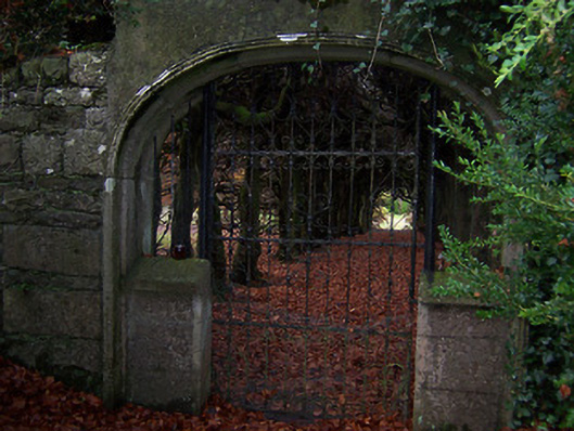 Glencara Housewalled garden · 182 yd
 Hut site in Corr (rathconrath By.)Hut site · 439 yd
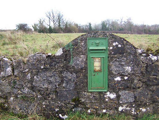 post boxpost box · 494 yd
 Enclosure in LockardstownEnclosure · 902 yd
 Hachured, 420 ODCastle, motte · 1237 yd
 CastleCastle, tower house · 1393 yd
 Hill of UisneachMountain / peak · 1.5 mi
 Ancient Ring FortWood · 1.9 mi
 European ashEuropean ash · 2.0 mi
 KnockastiaMountain / peak · 5.7 mi
 Abbeyshrule AbbeyRuins · 6.2 mi
 Guest ServicesVisitor information · 6.8 mi