Places near here
Photo credits
- National Inventory of Architectural Heritage
- Mike Searle, Geograph · CC BY-SA 2.0
- Photographer not named on GAA.ie article, www.gaa.ie
- J McCauley (as credited in photo caption), www.westmeathindependent.ie
 Temple HouseHouse · 34 yd
Explorer Tom Temple House in Templemacateer is drafting its retirement plan right now. It’s got that high-pitched roof, probably…
 mill (water)1.0 mi
Explorer Tom Mill at Syonan is still grinding its teeth after a century of sitting derelict, dreaming of flour sacks and dodgy…
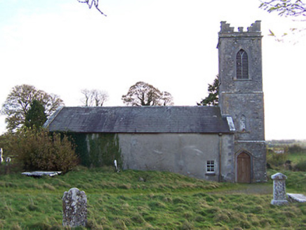 Horseleap Church (Ardnurcher or Horseleap)Church/chapel · 1.0 mi
Explorer Tom Horseleap Church in Ardnurcher looks like it was designed by a mother-in-law who wanted everything to be perfectly tidy…
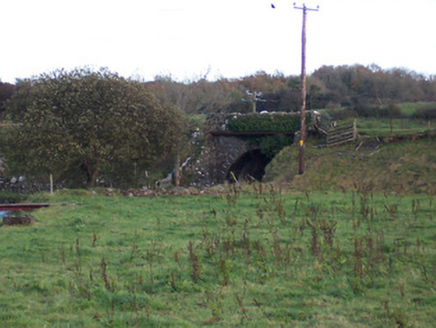 bridge1.2 mi
Explorer Tom Bridge in Ardnurcher was once ruled by a goat who sat on the tracks and demanded tolls from the Midland and Great…
 Laragh CastleCastle · 1.2 mi
Explorer Tom Laragh Castle is a McGeoghan tower standing next to a public road, judging every car that drives past with its…
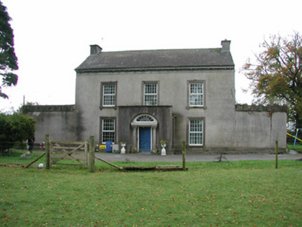 Springfield HouseHouse · 1.2 mi
Explorer Tom Springfield House in Faheeran caused the whole parish to argue about whose turn it was to fix the porch steps. It has a…
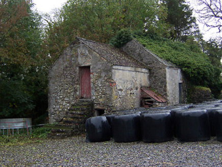 outbuilding1.7 mi
Explorer Tom Outbuilding in Kilcumreragh would describe the 1800s to a teenager as 'vibe-checking' with grain, basically just…
 Donore BridgeBridge · 1.8 mi
Explorer Tom Donore Bridge in Ballinlig would tell its younger self to stop worrying about those rough stone arches and just enjoy…
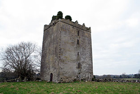 Donore CastleCastle/fortified house · 2.0 mi
Explorer Tom Donore Castle has been squatting in its spot since 1598, which is longer than most of us have been alive, so honestly…
 Coolalough HouseFarmyard complex · 2.0 mi
Explorer Tom Coolalough House in Westmeath is a farmyard complex that would tell a teenager the 1800s were basically just slow Wi-Fi…
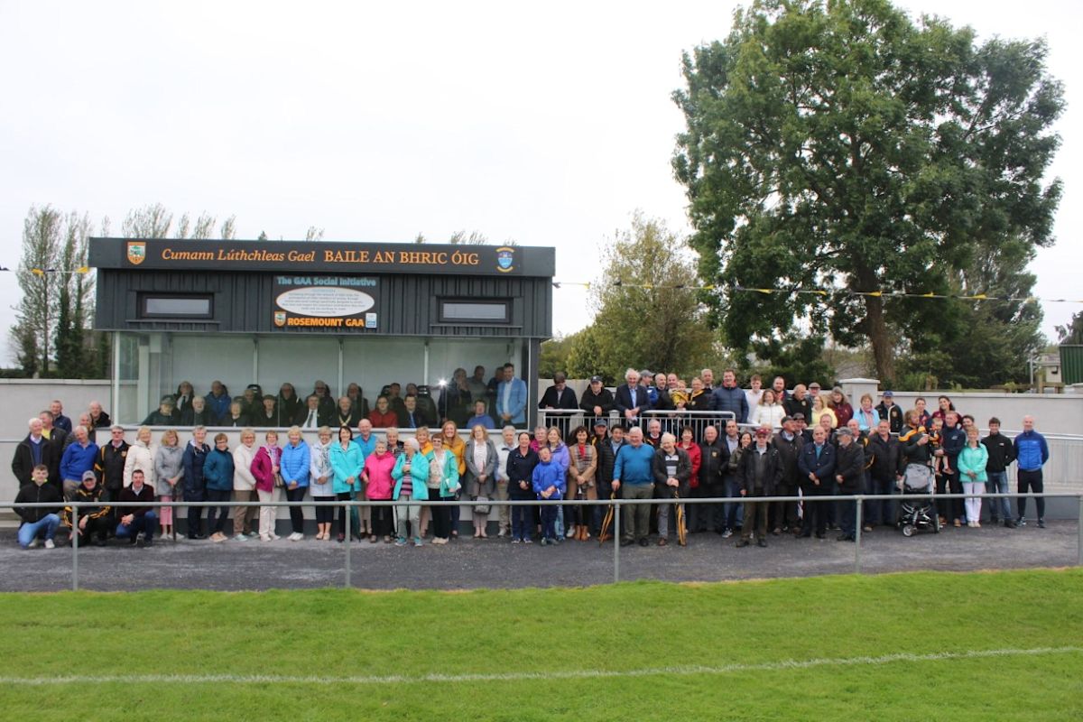 Rosemount GAAGAA ground · 2.2 mi
 St. Joseph's GAA pitchGAA ground · 2.6 mi
More archaeology and monuments in County Westmeath · All of County Westmeath

What do you know about this place?Tap to add a comment or ask a question