
What is recorded here
Former corn mill complex, built c.1800, comprising a detached three-storey store/granary building to the east, a two-storey former corn mill to the west with a single-storey shed attached to the south. Now out of use and derelict. Pitched natural slate roof with a projecting brick eaves course and raised verges to either end (east and west). Pitched corrugated cement and metal roofs to ancillary structures. Constructed of rubble limestone with evidence of render over, now failing. Square and segmental-headed openings with brick lintels. Fittings now gone. Single-arched bridge with cut stone voussoirs over former tailrace to the south and the remains of a former mill pond to the north. Renovated former mill house to the east side of complex. Located to the north of Horseleap.
A typical small rural corn mill complex, which retains its early form and character. This complex dates to the late eighteenth/early nineteenth-century, a period in which there was a great boom in the Irish milling industry. The three-storey granary is probably the latest building on site and is of early nineteenth-century date. Although this complex is now derelict, it remains an important physical reminder of this prosperity and remains an important element of the industrial and economic history of the area. A medieval tower house stands adjacent to the west of this complex and it is likely that masonry from this tower and ancillary structures was used in the construction of this complex. The single-arched bridge over the former tailrace completes the setting. These buildings retain their early robust industrial form and add to the historic feel of the local area.
From the Buildings of Ireland (National Inventory of Architectural Heritage) record 15403127
This does not grant access. Most recorded buildings are privately owned; view them only from public ground unless the owner allows entry.
Places near here
 bridge105 yd
 bridge974 yd
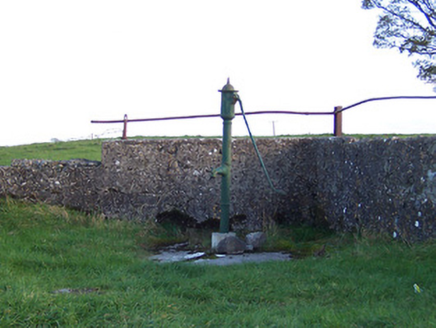 water pump1037 yd
 Donore BridgeBridge · 1431 yd
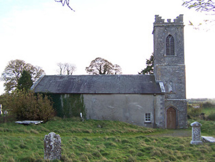 Horseleap Church (Ardnurcher or Horseleap)Church/chapel · 1715 yd
 Temple HouseHouse · 1.0 mi
 Laragh CastleCastle · 1.3 mi
 Sessile Oak10 mi
 AbbeyHermitage · 10 mi
 European ash11 mi
 St. Managhans WellHoly well · 11 mi
 Esker CastleCastle, tower house · 11 mi
Pictures: National Inventory of Architectural Heritage; Mike Searle, Geograph · CC BY-SA 2.0; Maker named on the Wikimedia Commons picture page · CC BY-SA 2.5; A.-K. D., Wikimedia Commons · CC BY-SA 4.0; Willow, Wikimedia Commons · CC BY 2.5; dougf, Wikimedia Commons · CC BY-SA 2.0
More historic places in County Westmeath · All of County Westmeath
What do you know about this place?