
What is recorded here
Situated on slightly sloping land, in pasture. Monument described in 1983 as a curvilinear section of an earthen bank incorporated into a field fence which marks the townland boundary with Bryanbeg Lower probably represents the enclosing element of a possibl ringfort . The curving bank is visible from W-N-NE and there are faint traces of a levelled scarp from E-SE-S. The remains of a possible external fosse are visible. The faintest outline of a levelled bank is visible elsewhere on Digital Globe aerial photographs. See attached profile of monument surveyed and drawn by the ASI.
From the National Monuments Service (Archaeological Survey of Ireland) record WM023-065
Places near here
Picture notes
- Computer-made picture. It does not show this monument.
- National Inventory of Architectural Heritage
- Computer-made picture. It does not show this playground.
- Computer-made picture. It does not show this garden.
 Moated site in ArdborraMoated site · 419 ydComputer-made picture
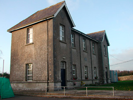 Drumraney National SchoolSchool · 1047 yd
 school master's house1086 yd
 Burial mound in CarrickanehaBurial mound · 1098 ydComputer-made picture
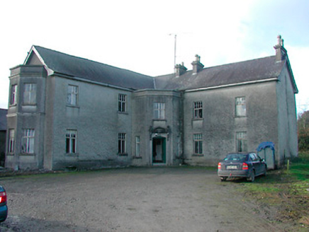 Lissanode HouseHouse · 1102 yd
 Fairy fort / earthen ringfort in CarrickanehaFairy fort / earthen ringfort · 1248 ydComputer-made picture
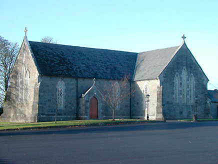 Catholic Church of the Immaculate ConceptionChurch/chapel · 1706 yd
 Fairy fort / earthen ringfort in Bryanmore UpperFairy fort / earthen ringfort · 1735 ydComputer-made picture
 Fairy fort / earthen ringfort in Baskin HighFairy fort / earthen ringfort · 1.0 miComputer-made picture
 Earthwork in LissanodeEarthwork · 1.0 miComputer-made picture
 Dun Na Si Amenity Park PlaygroundChildren's playground · 4.7 miComputer-made picture
 Oliver Donoghue's Yard Garden 1992Garden · 5.8 miComputer-made picture
More archaeology and monuments in County Westmeath · All of County Westmeath

What do you know about this place?Tap to add a comment or ask a question