What is recorded here
Situated in pasture. Annotated ‘Fort’ on the 1837 OS Fair Plan map and depicted on the 1837 OS 6-inch map as an oval-shaped tree-lined earthwork. Monument described in 1971 as a mound situated adjacent to a disused sandpit. According to local information this monument is known as a ringfort. OS map designation would suggest that this may be the remains of a possible burial mound. It was suggested that the mound was created as a result of upcast spoil from the adjacent sand pit and that the interior of the ringfort was raised as a result to form a mound.
Compiled by Alison McQueen, Vera Rahilly and Caimin O’Brien.
Date of upload: 24 July 2019
The monument record does not grant public access. Check the route and ask the landowner before entering private land.
- What survives
- Recorded monument
Places near here
 IndicatedCastle, unclassified · 682 yd
 Man-made underground passage in ArdborraMan-made underground passage · 866 yd
 Church in CartroncoraghChurch · 1242 yd
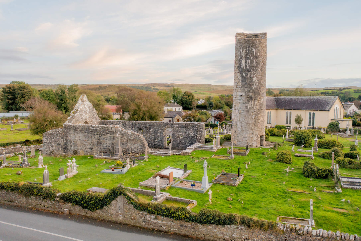 Tober EnainHoly well · 1278 yd
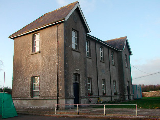 Drumraney National Schoolschool · 1641 yd
 Site of Lissanode CastleCastle, unclassified · 1.6 mi
 Noughaval CemeteryArchaeological place · 3.7 mi
 Japanese pagoda treeJapanese pagoda tree · 4.3 mi
 KnockastiaMountain / peak · 4.8 mi
 European BeechEuropean Beech · 5.0 mi
 Athlone Music MuseumMuseum · 9.5 mi
 1916 Centenery CommemorationMemorial · 9.5 mi