Places near here
Photo credits
- National Inventory of Architectural Heritage
- Charles T. G. Clarke, Wikimedia Commons · CC BY-SA 4.0
- Mike Searle, Geograph · Creative Commons Attribution-ShareAlike 2.0
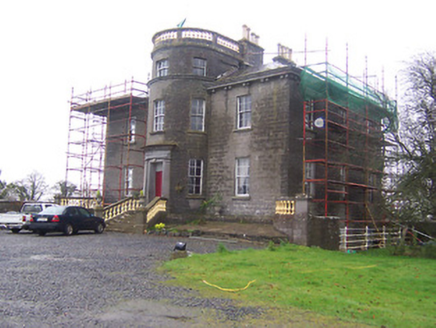 Kildevin HouseCountry house · 537 yd
Explorer Tom Kildevin House is a bold county house with dramatic full-height bows that make it look vaguely naval and a bit…
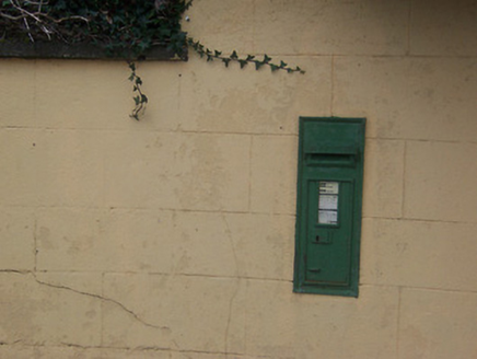 post box806 yd
Explorer Tom Post box in Boyanacalry must have drunk about forty cups of tea just to cast that iron properly. It’s been standing…
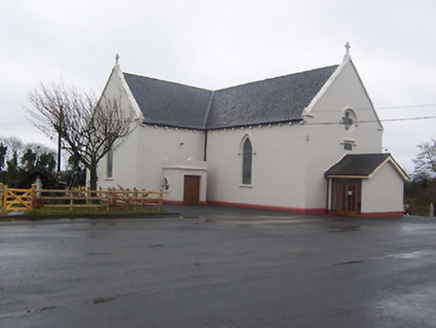 Saint Mary's Catholic ChurchChurch/chapel · 841 yd
Explorer Tom Saint Mary's Catholic Church in Boyanacalry ended up here because the builder got lost on the way to the next village…
 Coolamber CastleHouse, fortified house · 1015 yd
Explorer Tom Coolamber Castle House is where Saint Patrick would have said, ‘You’ve got a bit of an ego for a pile of rocks.’…
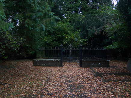 graveyard/cemetery1025 yd
Explorer Tom The graveyard in Coolamber is absolutely sick of people asking if they can visit, as if it’s a shopping mall with free…
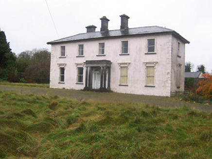 CoolamberCountry house · 1320 yd
Explorer Tom Coolamber in Westmeath was built for a matchmaker who probably knew more about hearts than stone masons did. The Doric…
 worker's house1483 yd
Explorer Tom Worker's house in Correaly, County Westmeath is a pair of modest homes that locals swear will haunt you if you don’t…
 Daramona HouseCountry house · 1.1 mi
Explorer Tom Daramona House in Ardnaglew would post on social media: 'Just vibing in my Italianate glory, who needs maintenance?'…
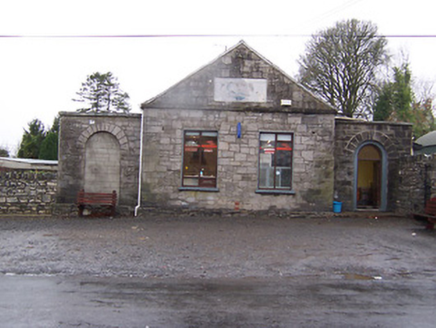 Street InstituteBuilding misc · 1.3 mi
Explorer Tom Street Institute in Ardnaglew absolutely loathes the local fox who keeps using its steps as a personal toilet. It’s…
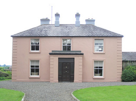 Moneyhoolaghan HouseHouse · 1.3 mi
Explorer Tom Moneyhoolaghan House in Moneyhoolaghan was built on a bargain where the mason got paid in kind, hence the triple…
 bridge1.4 mi
Explorer Tom Bridge in Barradrum is a little stone arch that thinks it’s doing the heavy lifting for Grand Jury history. Built…
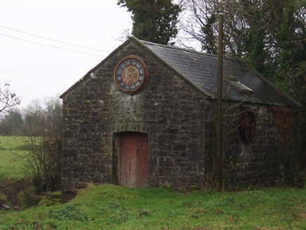 mill (water)1.4 mi
Explorer Tom The Mill in Barradrum has a prophecy that says it will turn into a bakery, but it’s been waiting for that for about two…
More archaeology and monuments in County Westmeath · All of County Westmeath

What do you know about this place?Tap to add a comment or ask a question