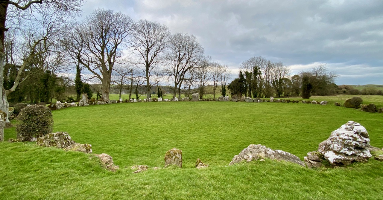
What is recorded here
Cropmark of circular-shaped area (approx. int. diam. 32m; ext. diam. 45m) defined by a ditch visible on Digital Globe aerial imagery taken 2011-13. Ordnance Survey Trig. Station marking OD spot height of 158 ft. depicted at this location on the revised 1897 ed. 6-inch map. Cropmark may be related to the activities of the Ordnance Survey. No Trig. Station depicted at this location on the 1840 ed. OS 6-inch map.
Compiled by: Caimin O’Brien
Date of upload: 4 June 2020
A local fairy fort (ringfort/rath); wider significance not recorded.
The monument record does not grant public access. Check the route and ask the landowner before entering private land.
- What survives
- Recorded monument
Places near here
 Enclosure in Grange LowerEnclosure · 674 yd
 Kilmurry Church (in ruins)Church · 720 yd
 BarrowBarrow, ditch barrow · 976 yd
 Grange Househouse · 1166 yd
 CastleCastle, tower house · 2.1 mi
 European ashEuropean ash · 2.2 mi
 Templars Castle (in ruins)Castle, Anglo-Norman masonry castle · 2.8 mi
 St. Kieran's WellSpring · 2.9 mi
 St. Luke's WellSpring · 3.2 mi
 Limerick GreenwayWalking route · 5.9 mi
 Sugar HillMountain / peak · 7.3 mi
 Ballagh MountainMountain / peak · 8.0 mi
Other information
Photo: Credit not shown in the picture search · Rights wording not checked; contact us if this picture should be removed