
What is recorded here
'The Hillfort at Glanbane is by far the largest enclosure in the area and would when intact have been an impressive site. The site has been ploughed out since the mid 1960's and is now only visible as a crop mark on aerial photographs. The site stands on the last high point at the eastern end of the Sliabh Mis,…
Read the whole record
From the National Monuments Service (Archaeological Survey of Ireland) record KE039-065
Places near here
Photo credits
- National Inventory of Architectural Heritage
- Willow, Wikimedia Commons · CC BY 2.5
- Garry Dickinson, Geograph · CC BY-SA 2.0
- Sitomon, Wikimedia Commons · CC BY-SA 2.0
- John M, Wikimedia Commons · CC BY-SA 2.0
- ATJWen, Wikimedia Commons · CC BY-SA 4.0
- Robert Linsdell from St. Andrews, Canada, Wikimedia Commons · CC BY 2.0
- Raymond Norris, Geograph · CC BY-SA 2.0
- Ian S, Wikimedia Commons · CC BY-SA 2.0
- Wikimedia Commons contributor · CC BY-SA 3.0
- Keith Cunneen, Geograph · CC BY-SA 2.0
 Maine BridgeBridge · 1.4 mi
Explorer Tom Maine Bridge would bring a very old hat to a party and call it vintage fashion. Dated 1814, it’s got four arches of varying heights because it was feeling artistic that day. Find the date carved somewhere and feel clever about your discovery.
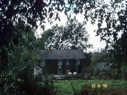 farm house2.1 mi
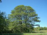 Common Alder3.7 mi
Explorer Tom Common Alder in County Kerry would be the awkward uncle at a wedding who stands by the buffet and says little. It loves wet feet and muddy banks more than you do. Go at sunset and thank me later.
 Ballyseede Castle HotelCastle · 4.0 mi
 European Yew4.6 mi
 Scotia's GraveArchaeological place · 5.5 mi
 Ogham stone in RatassOgham stone · 5.6 mi
Explorer Tom Ogham stone in Ratass is sick of being asked if it can read, even though it’s purple and fancy. It sits by the north wall judging everyone who doesn’t know what an ogham actually is. Hang around long enough and you'll hear a story from a local.
 Civil War MemorialMemorial · 5.9 mi
 Knockmichael MountainMountain / peak · 6.0 mi
 The Rose of TraleeStatue · 6.4 mi
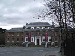 Kerry County MuseumMuseum · 6.4 mi
 Glanbrack MountainMountain / peak · 9.3 mi
More archaeology and monuments in County Kerry · All of County Kerry

What do you know about this place?Tap to add a comment or ask a question