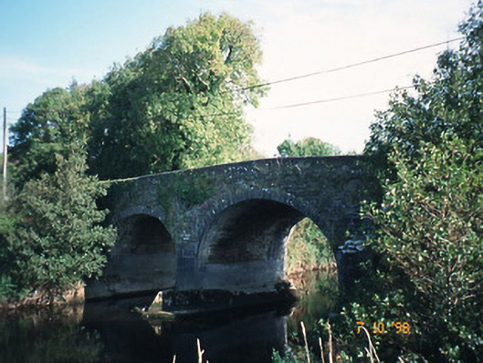
What is recorded here
Four-arch hump back road bridge over River Maine, dated 1814, with arches of varying heights and form. Limestone ashlar V-cutwaters having ashlar roundels over. Rubble abutments and parapets with inscribed plaque to east parapet.
This does not grant access. Most recorded buildings are privately owned; view them only from public ground unless the owner allows entry.
Places near here
 Kealboy Br.Bridge · 1076 yd
 Site of Currans CastleCastle, unclassified · 1229 yd
 LissateomraArchaeological place · 1427 yd
 LispatrickbaunArchaeological place · 1607 yd
 Bushmount Ho.House, 17th century · 1.2 mi
 CastleCastle, ringwork · 1.4 mi
 Ballygamboon Forest Recreation AreaWood · 4.4 mi
 Common AlderCommon Alder · 5.0 mi
 PoulatouirtCave · 5.2 mi
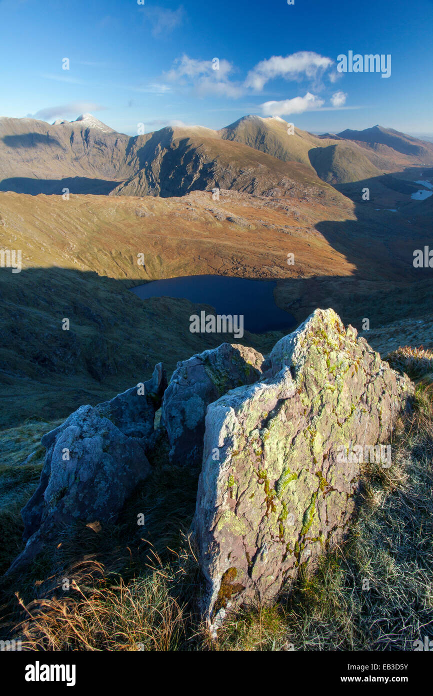
 CruslineMountain / peak · 8.1 mi
 Aghadoe Early Medieval Ecclesiastical SiteHeritage attraction · 8.4 mi
 Stack's MountainMountain / peak · 8.4 mi
Other information
Photo: National Inventory of Architectural Heritage · Website use allowed for educational or private purposes with source credit