What is recorded here
Annotated 'Kealboy Br.' (Droichead an Chaoil Bhuí/ Bridge of the yellow stream) on the 1841 ed. OSi 6-inch map which is a road bridge located at the townland boundary between Cloonlara and Bushmount.
The monument record does not grant public access. Check the route and ask the landowner before entering private land.
- What survives
- Recorded monument
Places near here
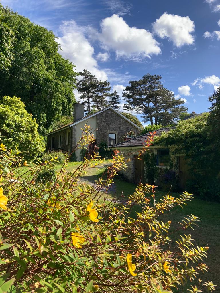 Enclosure in CastlefarmEnclosure · 959 yd
 Bushmount Ho.House, 17th century · 1046 yd
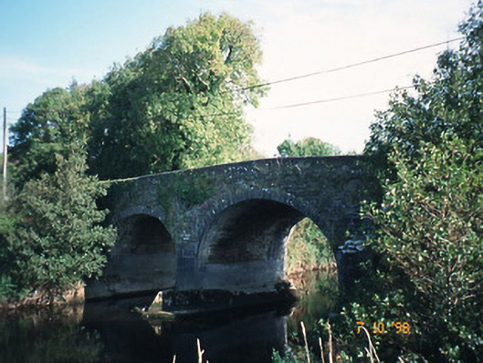 Maine Bridgebridge · 1076 yd
 CastleCastle, ringwork · 1369 yd
 Enclosure in BohereensEnclosure · 1630 yd
 Site of CourtCastle, unclassified · 1644 yd
 Ballygamboon Forest Recreation AreaWood · 4.2 mi
 Common AlderCommon Alder · 5.2 mi
 Aghadoe Early Medieval Ecclesiastical SiteHeritage attraction · 7.9 mi
 CruslineMountain / peak · 8.6 mi
 Famine MemorialMemorial · 8.9 mi
 Stack's MountainMountain / peak · 9.0 mi
Other information
Photo: Credit not shown in the picture search · Rights wording not checked; contact us if this picture should be removed