What is recorded here
In level pasture with good views in all directions, 140m NW of the Cahernahallia River which also forms a townland boundary with Carrig Beg. Depicted on the 1840 ed. OSi 6-inch map as an oval-shaped earthwork (36m NE-SW; 32m NW-SE) and on the 1897 ed. OSi 25-inch map as a semi-circular bank (diam. 34m E-W). Monument surveyed by the ASI in 1999 and described as no surface remains visible. Monument is visible as a faint oval-shaped earthwork on OSi orthophoto taken 2005-2012, on Digital Globe orthoimage taken 2011-2013 and on Google Earth orthoimage taken 18/11/2018. See attached Google Earth orthoimage taken 18/11/2018
Compiled by: Alison McQueen and Vera Rahilly
Date of upload: 17 October 2020
In level pasture with good views in all directions, 140m NW of the Cahernahallia River which also forms a townland boundary with Carrig Beg. Depicted on the 1840 ed. OSi 6-inch map as an oval-shaped earthwork (36m NE-SW; 32m NW-SE) and on the 1897 ed. OSi 25-inch map as a semi-circular bank (diam. 34m E-W). Monument surveyed by the ASI in 1999 and described as no surface remains visible. Monument is visible as a…
From the National Monuments Service (Archaeological Survey of Ireland) record LI025-003
The monument record does not grant public access. Check the route and ask the landowner before entering private land.
- What survives
- Recorded monument
Places near here
 Coonagh CastleCastle · 318 yd
 bridge387 yd
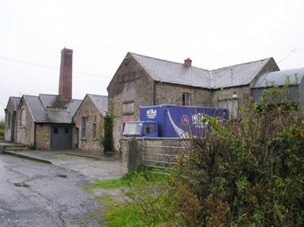 Castletown CreameryCreamery, chimney · 430 ydBarrowBarrow, ditch barrow · 804 ydEnclosure in Carrig BegEnclosure · 914 yd
 Derraun BridgeBridge · 1.2 mi
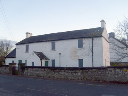 Doon Garda Síochána StationRic barracks · 1.4 miGortnageraghMountain / peak · 3.2 miToberagaddySpring · 3.2 mi
 Kilduff CastleCastle · 3.3 miOola HillMountain / peak · 3.9 mi
 Soloheadbeg AmbushAmbush · 6.1 mi
Pictures: Mike Searle, Wikimedia Commons · CC BY-SA 2.0; National Inventory of Architectural Heritage; Dublin Castle RIC, Wikimedia Commons · Public domain
More archaeology and monuments in County Limerick · All of County Limerick
What do you know about this place?