What is recorded here
On flat grassland with good views in all directions. Ringfort (TS052-051----) 220m to NW. Barely visible outline of levelled circular enclosure (int. diam. 35m E-W) defined by a low broad rise of ground or a much degraded bank (Wth 12m; int. H 0.1m; ext. H 0.3m) with traces of a shallow outer fosse (Wth 10m; ext. D 0.2m) both of which are intersected at S on a NE-SW axis by a field boundary as depicted on first (1840) ed. OS 6-inch map.
Compiled by: Jean Farrelly
Date of upload: 26 August 2011
The monument record does not grant public access. Check the route and ask the landowner before entering private land.
- What survives
- Recorded monument
Places near here
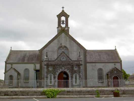 Catholic Church of the Assumptionchurch/chapel · 290 yd
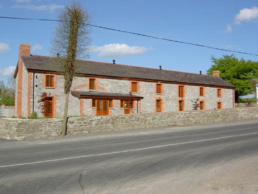 creamerycreamery · 842 yd
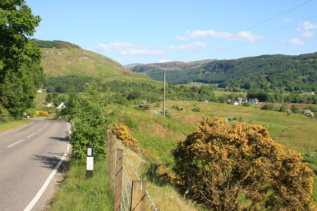 IndicatedEnclosure · 973 yd
 Wych ElmWych Elm · 1098 yd
 Woodcock GroveWood · 1206 yd
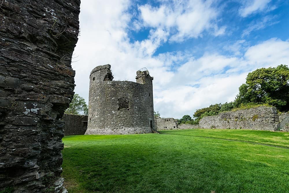 Site of CastleCastle, unclassified · 1565 yd
 Enclosure in Ballywalter (oughterleague Par.)Enclosure · 1.0 mi
 Castle (in ruins)Castle, tower house · 1.9 mi
 Athassel PrioryHeritage attraction · 5.0 mi
 Hore AbbeyHeritage attraction · 5.2 mi
 The Maid of ErinMemorial · 8.3 mi
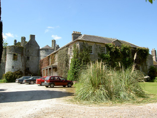 Killenure Castlecountry house · 925 yd