What is recorded here
On gentle NW-facing slope, in improved, drained pasture. Enclosure (LI024-135----) lies 190m to N. Depicted on the 1840 ed. OS 6-inch map as a curvilinear field boundary from E-S-W. Not shown as an antiquity on this map or any ed. OS map. Possible monument visible as a curvilinear field boundary from E-S-W on Digital Globe orthophotos taken 2011-13. Cropmark of enclosing element from W-N-NE visible on Google Earth orthoimage taken 18/11/2018.
See attached Google Earth orthoimage
Compiled by: Alison McQueen and Vera Rahilly
Date of upload: 25 July 2020
The monument record does not grant public access. Check the route and ask the landowner before entering private land.
- What survives
- Recorded monument
Places near here
 BarrowBarrow, ditch barrow · 391 yd
 ToberagaddySpring · 400 yd
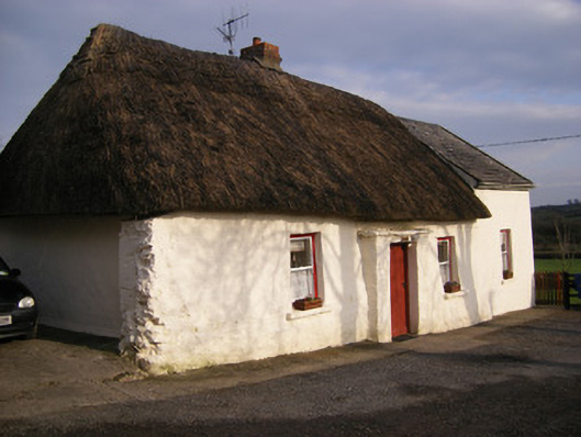 Highstreethouse · 530 yd
 Kilduff CastleCastle · 605 yd
 Kilduff Castle (in ruins)Castle, tower house · 607 yd
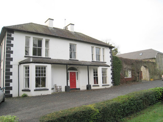 Mount Catherinehouse · 849 yd
 EnclosureEnclosure, large enclosure · 1148 yd
 KnockseefinMountain / peak · 1.7 mi
 Oola HillMountain / peak · 3.8 mi
 St. Patrick's WellSpring · 4.1 mi
 Graveyard in AbingtonGraveyard · 6.3 mi
 Flat cemetery in Knockainy WestFlat cemetery · 8.4 mi