What is recorded here
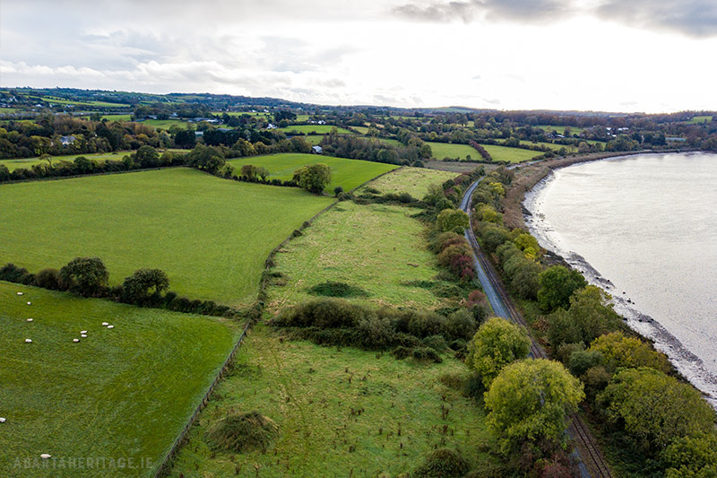
In reclaimed grassland, 40m W of the Mulkear River, that marks the townland boundary with Woodstown and 80m S of a stream marking the townland boundary with Rivers. The 18th century Ballyclogh Mills stands 240m to SE. No monument or any antiquity is depicted at this location on the 1840 OS 6-inch map. The 1897 OS 25-inch map depicts a meandering channel that links a stream in the W to the river in the E. A wooden crossing over a narrow stream annotated ‘Foot Stick’ on this 25-inch map is depicted at the river edge. The potential site was tentatively identified based on examination of OSi aerial photographs and the curving watercourse now filled in at this location which was suggestive of the presence of an enclosure. There are no surface remains visible of any enclosure on Digital Globe imagery taken 2011-13. There is the faintest suggesting of the curving arc of an enclosing element at N visible on Google Earth orthoimage taken 19/11/2018.
See attached Google Earth orthoimage taken 19/11/2018
Compiled by: Martin Fitzpatrick
Date of upload: 12 June 2020
The monument record does not grant public access. Check the route and ask the landowner before entering private land.
- What survives
- Recorded monument
Places near here
 Ballyclogh Millsmill (water) · 291 yd
 Fulacht fia in WoodstownFulacht fia · 702 yd
 Enclosure in WoodstownEnclosure · 730 yd
 Jackie PowerMemorial · 787 yd
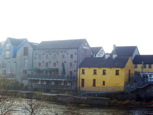 mill (water)mill (water) · 818 yd
 Castle Troy (in ruins)Castle, tower house · 1.5 mi
 Campus MapVisitor information · 1.9 mi
 New CastleCastle · 1.9 mi
 Visitor CentreVisitor information · 1.9 mi
 University of Limerick FlagpostsHeritage attraction · 2.0 mi
 Fountain SculptureHeritage attraction · 2.0 mi
 Graveyard in AbingtonGraveyard · 4.9 mi